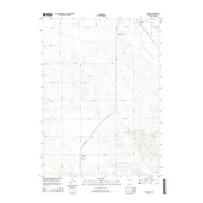
2014 Map of Neligh SE
USGS Topo · Published 2014About this map
The Elkhorn River flows through the northeast corner of this Antelope County landscape, anchoring a region defined by agricultural grid lines and the subtle drainages of Blacksnake Cr and Antelope Cr. Just south of the city of Neligh, the terrain transitions from the river valley to higher ground, marked by a systematic network of section roads like 848th Rd and 840th Rd. Transportation history is evident in the path of the Cowboy Trl, a recreational trail following a former rail corridor that parallels the river's course. Local heritage is concentrated near the southern boundary, where the West Cedar Valley Cem and Saint Boniface Cem serve as quiet landmarks for genealogists and local historians. The presence of the Antelope County Airport and the Flobert Springs Reservoir indicates the specialized land use within this rural Nebraska township.
Find a feature on this map
22 named features on this map. Tap any name to fly to it.
Don’t see what you’re looking for? This feature index may not catch every label — zoom into the map to look around manually.
Map Details
Editions of this 2014 Neligh SE Map
This is the sole edition of this map. No revisions or reprints were ever made.
Other maps of this area

1955 · Broken Bow
USGS Topo · 1:250,000

1955 · Sioux City
USGS Topo · 1:250,000

1955 · Fremont
USGS Topo · 1:250,000

1955 · O'Neill
USGS Topo · 1:250,000

1956 · Broken Bow
USGS Topo · 1:250,000

1957 · Fremont
USGS Topo · 1:250,000

1958 · Sioux City
USGS Topo · 1:250,000

1958 · Fremont
USGS Topo · 1:250,000

1959 · O'Neill
USGS Topo · 1:250,000

1959 · Sioux City
USGS Topo · 1:250,000