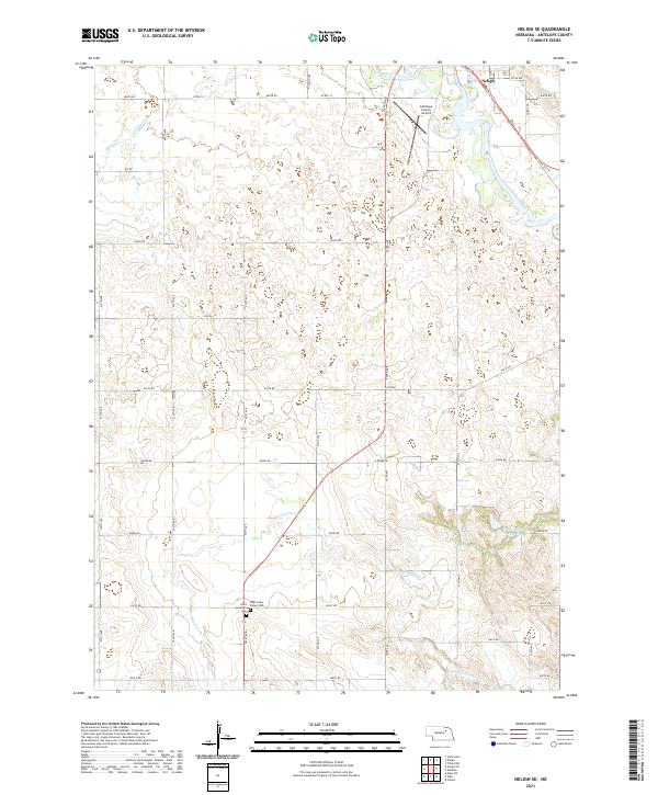
2021 Map of Neligh SE
USGS Topo · Published 2021About this map
Neligh sits at the northern edge of this landscape, where the Elkhorn River winds through the valley floor. The terrain south of town is defined by the drainage networks of Antelope Cr, Belmer Cr, and Blacksnake Cr, revealing a rural environment dominated by section-line roads and scattered agricultural landmarks. Transport history is anchored by the Cowboy Trl, which follows the historic railroad corridor eastward out of town. Local heritage is preserved at sites like Saint Boniface Cem and West Cedar Valley Cem, which serve as quiet markers of the community's ancestral roots near the banks of Blacksnake Cr. In the northeastern corner, the Antelope County Airport provides a modern utility to this otherwise traditional Nebraska farming and ranching landscape, while the Flobert Springs Reservoir indicates local water management and recreation potential in the southeastern reaches.
Find a feature on this map
36 named features on this map. Tap any name to fly to it.
Don’t see what you’re looking for? This feature index may not catch every label — zoom into the map to look around manually.
Map Details
Editions of this 2021 Neligh SE Map
This is the sole edition of this map. No revisions or reprints were ever made.
Other maps of this area

1955 · Broken Bow
USGS Topo · 1:250,000

1955 · Sioux City
USGS Topo · 1:250,000

1955 · Fremont
USGS Topo · 1:250,000

1955 · O'Neill
USGS Topo · 1:250,000

1956 · Broken Bow
USGS Topo · 1:250,000

1957 · Fremont
USGS Topo · 1:250,000

1958 · Sioux City
USGS Topo · 1:250,000

1958 · Fremont
USGS Topo · 1:250,000

1959 · O'Neill
USGS Topo · 1:250,000

1959 · Sioux City
USGS Topo · 1:250,000