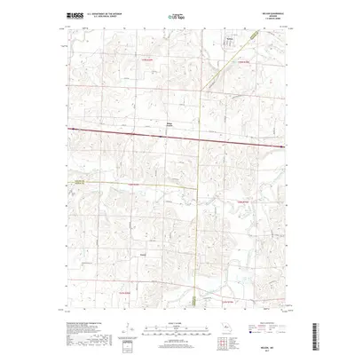
2017 Map of Nelson
USGS Topo · Published 2017About this map
Nelson occupies the northern reaches of this Saline County landscape, where the street grid of Main St and Baker ST meets the southern edge of the Blackwater River. The terrain is defined by a dense network of tributaries flowing toward the Lamine River in the east, including the winding Heaths Creek and Painter Br. To the south, the small community of Postal and the high ground of Ridge Prairie mark a transition toward the Pettis County line.
Find a feature on this map
59 named features on this map. Tap any name to fly to it.
Don’t see what you’re looking for? This feature index may not catch every label — zoom into the map to look around manually.
Map Details
Editions of this 2017 Nelson Map
This is the sole edition of this map. No revisions or reprints were ever made.
Other maps of this area

1887 · Sedalia
USGS Topo · 1:125,000

1888 · Boonville
USGS Topo · 1:125,000

1890 · Glasgow
USGS Topo · 1:125,000

1890 · Marshall
USGS Topo · 1:125,000

1892 · Marshall
USGS Topo · 1:125,000

1894 · Sedalia
USGS Topo · 1:125,000

1901 · Marshall
USGS Topo · 1:125,000

1940 · Marshall
USGS Topo · 1:62,500

1944 · Marshall
USGS Topo · 1:62,500

1947 · Glasgow
USGS Topo · 1:62,500