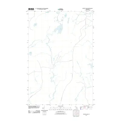
2011 Map of Nelson Lake
USGS Topo · Published 2011About this map
Fence Lake and the winding course of the East Branch Fence River anchor this remote landscape in Baraga County, defined by a dense network of glacial lakes and waterways. The map captures the quiet character of Spurr Township, where seasonal access roads like N Fence River Rd and Cut Across Rd provide the only passage through the timberlands. In the northeast corner, the name Koivula marks a specific point of local interest near the headwaters of the Spruce River.
Find a feature on this map
19 named features on this map. Tap any name to fly to it.
Don’t see what you’re looking for? This feature index may not catch every label — zoom into the map to look around manually.
Map Details
Editions of this 2011 Nelson Lake Map
This is the sole edition of this map. No revisions or reprints were ever made.
Other maps of this area

1895 · Ned Lake
USGS Topo · 1:62,500

1899 · Witbeck
USGS Topo · 1:62,500

1955 · Witch Lake
USGS Topo · 1:24,000

1955 · Ned Lake
USGS Topo · 1:62,500

1955 · Herman
USGS Topo · 1:62,500

1955 · Witch Lake NE
USGS Topo · 1:24,000

1955 · Witch Lake
USGS Topo · 1:62,500

1956 · Three Lakes
USGS Topo · 1:24,000

1956 · Michigamme
USGS Topo · 1:62,500

1956 · Michigamme
USGS Topo · 1:24,000