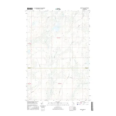
2017 Map of Nelson Lake
USGS Topo · Published 2017About this map
The W Br Fence River and its tributaries define this forested stretch of the Upper Peninsula, where the boundary between Baraga Co and Iron Co intersects a network of waterways and remote logging roads. The landscape is characterized by a high concentration of glacial lakes, including the central Fence Lake and the northern Nelson Lake, which serve as headwaters for the intricate drainage system of the East Branch Fence River. A web of unpaved transit routes such as Tower Lake Rd and Cut Across Rd provides access to the dense interior, illustrating the area's continued use for timber management and wilderness recreation. In the southern portion of the quadrangle, the terrain transitions into the watershed of the W Br Michigamme River, where smaller streams like Wilson Cr and Leonard Cr feed into the regional river system.
Find a feature on this map
24 named features on this map. Tap any name to fly to it.
Don’t see what you’re looking for? This feature index may not catch every label — zoom into the map to look around manually.
Map Details
Editions of this 2017 Nelson Lake Map
This is the sole edition of this map. No revisions or reprints were ever made.
Other maps of this area

1895 · Ned Lake
USGS Topo · 1:62,500

1899 · Witbeck
USGS Topo · 1:62,500

1955 · Witch Lake
USGS Topo · 1:24,000

1955 · Ned Lake
USGS Topo · 1:62,500

1955 · Herman
USGS Topo · 1:62,500

1955 · Witch Lake NE
USGS Topo · 1:24,000

1955 · Witch Lake
USGS Topo · 1:62,500

1956 · Three Lakes
USGS Topo · 1:24,000

1956 · Michigamme
USGS Topo · 1:62,500

1956 · Michigamme
USGS Topo · 1:24,000