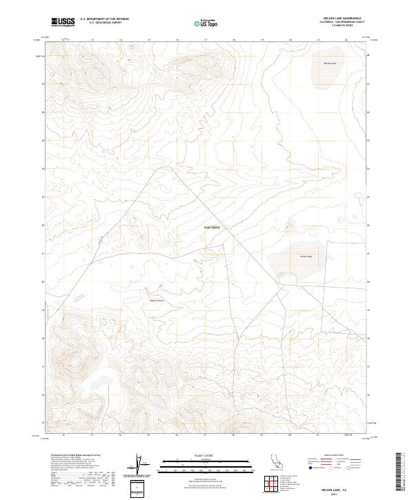
2021 Map of Nelson Lake
USGS Topo · Published 2021About this map
Nelson Lake and McLean Lake mark the arid basins of this high-desert landscape in the Mojave Desert. The terrain is characterized by broad alluvial fans and isolated playas, where historical passage is recorded by Pioneer Cut carving through the western hills. This 2021 survey by the U.S. Geological Survey details the Public Land Survey System grid across T16N R2E and T15N R1E, reflecting the organized division of this open terrain. The lack of permanent structures or developed roads emphasizes the remote character of this region of San Bernardino County, where seasonal water catchment and old desert routes remain the primary landmarks for modern geographers and desert explorers.
Find a feature on this map
8 named features on this map. Tap any name to fly to it.
Don’t see what you’re looking for? This feature index may not catch every label — zoom into the map to look around manually.
Map Details
Editions of this 2021 Nelson Lake Map
This is the sole edition of this map. No revisions or reprints were ever made.
Other maps of this area

1933 · Avawatz Mountains
USGS Topo · 1:250,000

1947 · Trona
USGS Topo · 1:250,000

1948 · Trona
USGS Topo · 1:250,000

1948 · Quail Mountains
USGS Topo · 1:62,500

1948 · Leach Lake
USGS Topo · 1:62,500

1948 · Goldstone Lake
USGS Topo · 1:62,500

1948 · Tiefort Mountains
USGS Topo · 1:62,500

1951 · Goldstone Lake
USGS Topo · 1:62,500

1951 · Tiefort Mountains
USGS Topo · 1:62,500

1951 · Quail Mountains
USGS Topo · 1:62,500