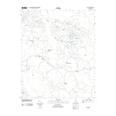
2011 Map of Nelson
USGS Topo · Published 2011About this map
Marblehill and the Marble Hill Post Office serve as central points in this North Georgia landscape, where industrial and residential development meets the high ridges of the Blue Ridge foothills. The terrain is defined by significant elevations like Mount Oglethorpe and Sanderlin Mountain, while the water management of the region is evident through numerous reservoirs such as Lake Petit, Sconti Lake, and Cox Lake. The presence of several Long Swamp Watershed Dams highlights the 20th-century hydrological engineering required to manage the area's drainage into Long Swamp Creek and Fourmile Creek. Small communities like Nelson, Daniels, and Holcomb are connected by a network of winding mountain roads, including Cove Rd and Long Swamp Church Rd. Notable landmarks such as the Tate Lookout Tower and Bent Tree Dam offer specific points of interest for local historians tracking the development of this upland region.
Find a feature on this map
122 named features on this map. Tap any name to fly to it.
Don’t see what you’re looking for? This feature index may not catch every label — zoom into the map to look around manually.
Map Details
Editions of this 2011 Nelson Map
This is the sole edition of this map. No revisions or reprints were ever made.
Other maps of this area

1888 · Ellijay
USGS Topo · 1:125,000

1890 · Suwanee
USGS Topo · 1:125,000

1892 · Ellijay
USGS Topo · 1:125,000

1894 · Suwanee
USGS Topo · 1:125,000

1898 · Ellijay
USGS Topo · 1:125,000

1911 · Ellijay
USGS Topo · 1:125,000

1926 · Tate
USGS Topo · 1:62,500

1928 · Tate
USGS Topo · 1:62,500

1955 · Rome
USGS Topo · 1:250,000

1958 · Rome
USGS Topo · 1:250,000