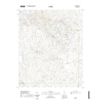
2020 Map of Nelson
USGS Topo · Published 2020About this map
Nelson and Marblehill anchor the southern and central portions of this North Georgia terrain, where the Piedmont meets the Appalachian foothills. The landscape is defined by significant elevations like Mt Oglethorpe and Toland Mtn, interspersed with a complex drainage network feeding into Long Swamp Cr and Amicalola Cr. The area showcases contemporary residential development and recreational land use, particularly around water bodies such as Lake Petit and Dubose Lake. Numerous named gaps and ridges, including Sconti Gap and Bethel Ridge, illustrate the varied topography that has shaped local transportation and settlement patterns. The map also records smaller communities like Holcomb and the surrounding timbered heights of Potts Mtn and Disharoon Mtn, providing a detailed view of the regional geography as it stood in the early 21st century.
Find a feature on this map
207 named features on this map. Tap any name to fly to it.
Don’t see what you’re looking for? This feature index may not catch every label — zoom into the map to look around manually.
Map Details
Editions of this 2020 Nelson Map
This is the sole edition of this map. No revisions or reprints were ever made.
Other maps of this area

1888 · Ellijay
USGS Topo · 1:125,000

1890 · Suwanee
USGS Topo · 1:125,000

1892 · Ellijay
USGS Topo · 1:125,000

1894 · Suwanee
USGS Topo · 1:125,000

1898 · Ellijay
USGS Topo · 1:125,000

1911 · Ellijay
USGS Topo · 1:125,000

1926 · Tate
USGS Topo · 1:62,500

1928 · Tate
USGS Topo · 1:62,500

1955 · Rome
USGS Topo · 1:250,000

1958 · Rome
USGS Topo · 1:250,000