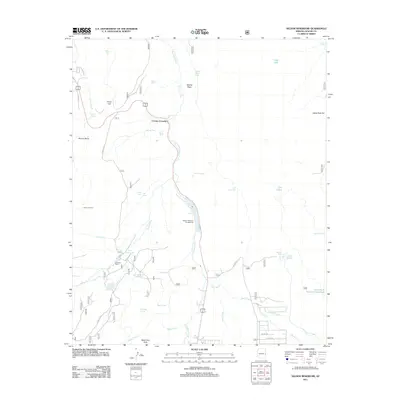
2011 Map of Nelson Reservoir
USGS Topo · Published 2011About this map
Nutrioso Creek dictates the geography of this high-altitude landscape, flowing north through a series of water management features including the central Nelson Reservoir. This arid terrain is defined by its collection of isolated tanks and springs, such as Molina Spring and Ted Spring, which supported the ranching and agricultural efforts of the early 21st century. High points like Picnic Hill and Indian Tank Hill overlook a network of forest roads and county routes, including Co RD 4131.
Find a feature on this map
45 named features on this map. Tap any name to fly to it.
Don’t see what you’re looking for? This feature index may not catch every label — zoom into the map to look around manually.
Map Details
Editions of this 2011 Nelson Reservoir Map
This is the sole edition of this map. No revisions or reprints were ever made.
Other maps of this area

1886 · St Johns
USGS Topo · 1:250,000

1892 · St Johns
USGS Topo · 1:250,000

1922 · Nutrioso
USGS Topo · 1:125,000

1954 · Clifton
USGS Topo · 1:250,000

1954 · Saint Johns
USGS Topo · 1:250,000

1957 · Clifton
USGS Topo · 1:250,000

1957 · Saint Johns
USGS Topo · 1:250,000

1958 · Clifton
USGS Topo · 1:250,000

1958 · Saint Johns
USGS Topo · 1:250,000

1958 · Alpine
USGS Topo · 1:62,500