Loading...
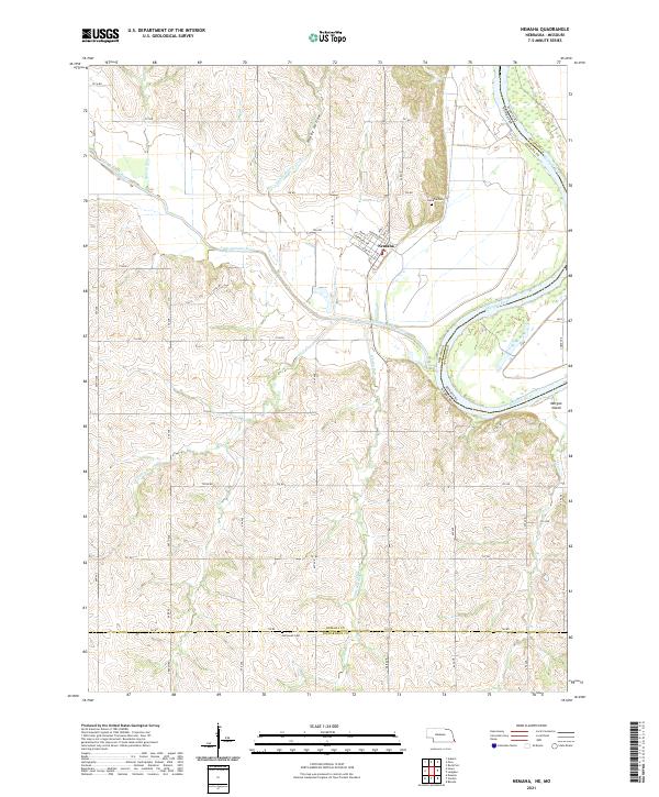
Loading map...2021 Map of Nemaha
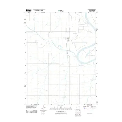
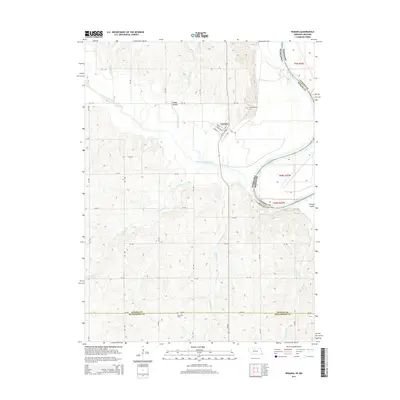
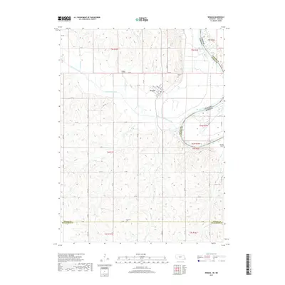
USGS Topo · Published 2021About this map
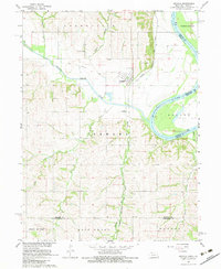
Nemaha stands at the heart of this landscape where the Little Nemaha River winds its way toward a confluence with the Missouri River. The village grid, featuring streets like Washington St and Nebraska Ave, is positioned on the bluffs overlooking the river bottoms. This terrain is defined by a series of drainages, including Whisky Run, Jarvis Cr, and Swartz Run, which carve through the undulating hills of the Nemaha County and Richardson County borderlands.
Find a feature on this map
52 named features on this map. Tap any name to fly to it.
Don’t see what you’re looking for? This feature index may not catch every label — zoom into the map to look around manually.
Map Details
Date Portrayed2021
Date Published2021
PublisherU.S. Geological Survey
Map TypeTopographic
Scale1:24,000
Physical Dimensions24 x 29 inches
Editions of this 2021 Nemaha Map
This is the sole edition of this map. No revisions or reprints were ever made.
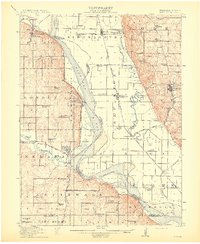
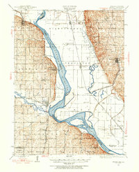
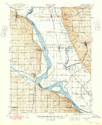
Historical Maps of Nemaha Through Time
8 maps found
Featured Locations
Source Details
SourceU.S. Geological Survey
CopyrightPublic Domain