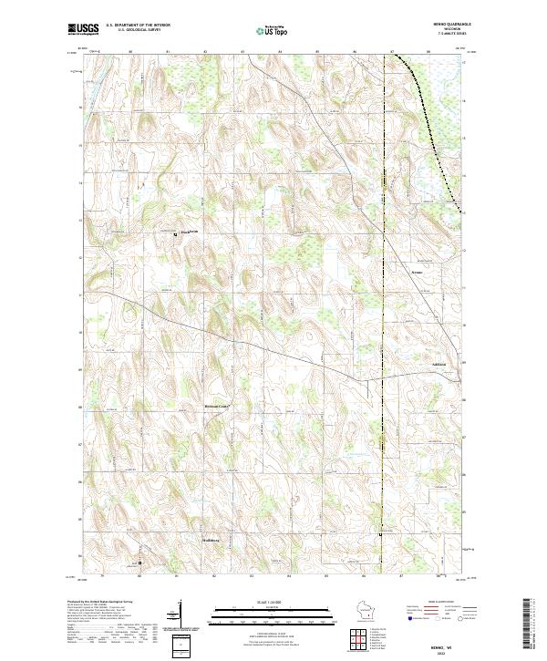
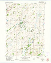
2022 Map of Nenno
USGS Topo · Published 2022About this map
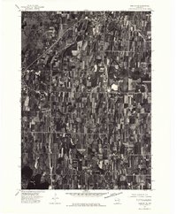
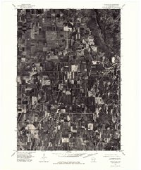
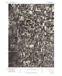
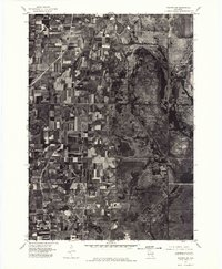
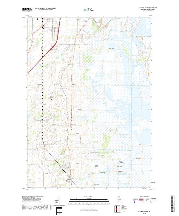
Hochheim and Huilsburg anchor this rural agricultural landscape on the border of Dodge and Washington counties. The terrain is defined by the winding course of the East Branch Rock River in the northwest and a network of smaller streams including Limestone Cr, Butler Cr, and Wildcat Cr. This modern survey illustrates the persistent 19th-century settlement patterns of the region, where small crossroads hamlets like Nenno and Herman Center remain central to the township structure.
Find a feature on this map
71 named features on this map. Tap any name to fly to it.
Don’t see what you’re looking for? This feature index may not catch every label — zoom into the map to look around manually.
Map Details
Editions of this 2022 Nenno Map
This is the sole edition of this map. No revisions or reprints were ever made.
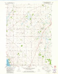
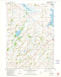
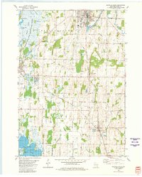
Historical Maps of Addison Through Time
21 maps found
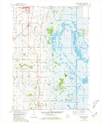
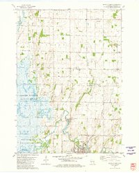
1959 Hartford West
Dodge County, WI
1959 Nenno
Dodge County, WI
1975 Beaver Dam NE
Dodge County, WI
1975 Horicon NE
Dodge County, WI
1975 Horicon NW
Dodge County, WI
1975 Waupun SE
Dodge County, WI
1975 Waupun SW
Dodge County, WI
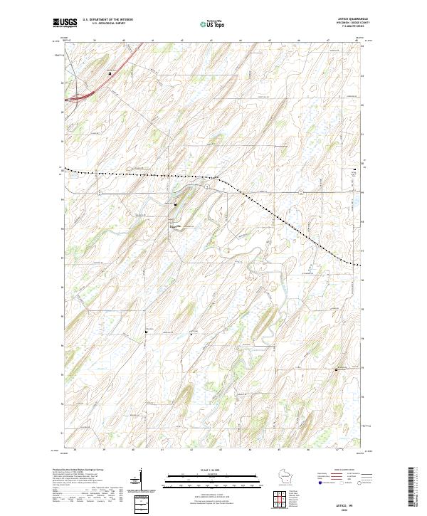
1980 Astico
Dodge County, WI
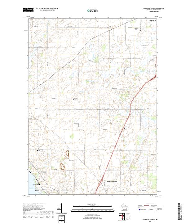
1980 Buckhorn Corner
Dodge County, WI
1980 Lost Lake
Dodge County, WI
1980 Mayville South
Dodge County, WI
1980 Waupun South
Dodge County, WI
1981 Mayville North
Dodge County, WI
2022 Astico
Dodge County, WI
2022 Buckhorn Corner
Dodge County, WI
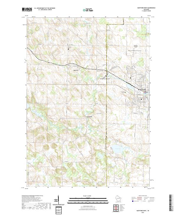
2022 Hartford West
Dodge County, WI
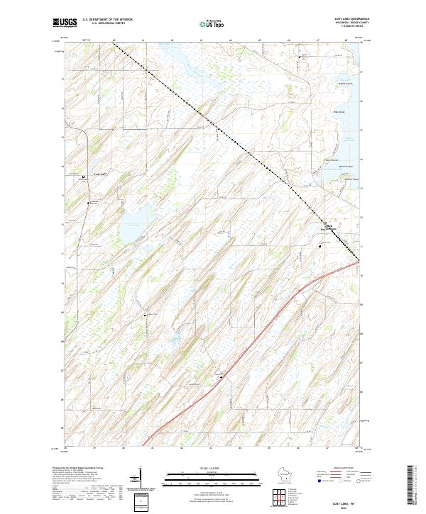
2022 Lost Lake
Dodge County, WI
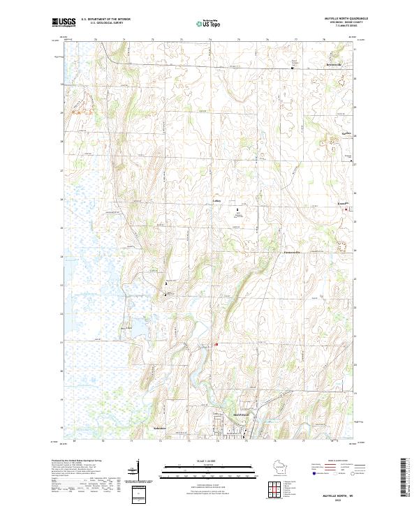
2022 Mayville North
Dodge County, WI
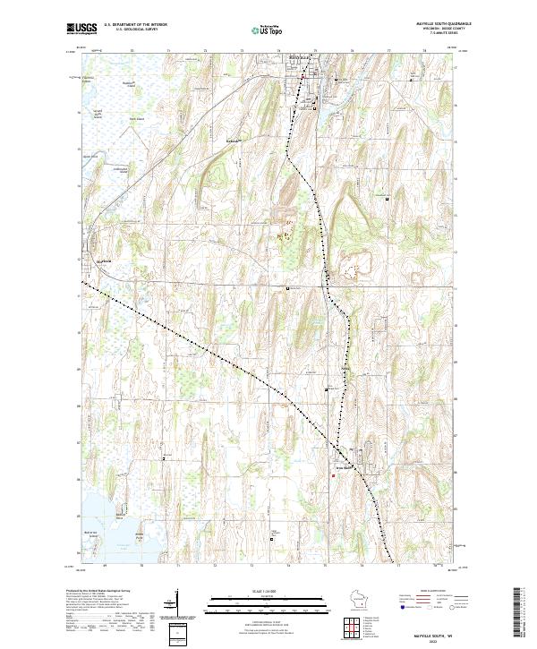
2022 Mayville South
Dodge County, WI
2022 Nenno
Dodge County, WI
2022 Waupun South
Dodge County, WI