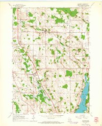
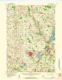
1959 Map of Allenton
USGS Topo · Published 1964About this map
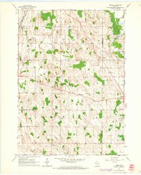
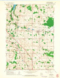
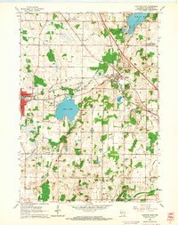
Allenton serves as a central hub for this portion of Washington County, situated where the East Branch Rock River meets the local transportation network. The landscape is defined by the glacial geography of eastern Wisconsin, featuring a dense concentration of Gravel Pits and the extensive Wayne Marsh to the north. These terrain features influenced the settlement patterns of rural communities like Kohlsville and St Anthony, which maintained their own small-scale institutions such as the Kohlsville Sch and Zion Sch. To the southeast, the shoreline of Cedar Lake is marked by early development at Linden Point and Point Lookout, contrasting with the more industrial extraction sites scattered throughout Addison and Wayne townships. For aviation history, the Sky Ranch Landing Field provides a specific look at mid-century private airfield infrastructure in the region.
Find a feature on this map
38 named features on this map. Tap any name to fly to it.
Don’t see what you’re looking for? This feature index may not catch every label — zoom into the map to look around manually.
Map Details
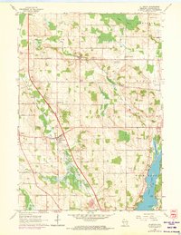
Editions of this 1959 Allenton Map
2 editions found
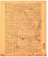
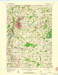
Other maps of this area

1904 · West Bend
USGS Topo · 1:62,500
1904 · Hartford
USGS Topo · 1:62,500

1955 · Campbellsport
USGS Topo · 1:62,500

1955 · Kewaskum
USGS Topo · 1:62,500

1957 · Madison
USGS Topo · 1:250,000
1959 · West Bend
USGS Topo · 1:62,500
1959 · Hartford
USGS Topo · 1:62,500
1959 · Nenno
USGS Topo · 1:24,000
1959 · Jackson
USGS Topo · 1:24,000
1959 · Hartford East
USGS Topo · 1:24,000