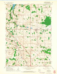
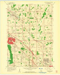
1959 Map of Jackson
USGS Topo · Published 1964About this map
Jackson and Mayfield anchor this mid-century topographic portrait of Washington County, where the landscape is defined by the intersection of major transportation corridors and agricultural life. The Chicago North Western and Chicago Milwaukee St Paul and Pacific railroads converge near Rugby Junction, signaling the area's importance as a rail nexus. Small settlements like Cedar Creek and Rockfield are scattered across the terrain, each accompanied by its own community landmarks such as Rockfield Sch and Friedens Ch.
Find a feature on this map
44 named features on this map. Tap any name to fly to it.
Don’t see what you’re looking for? This feature index may not catch every label — zoom into the map to look around manually.
Map Details
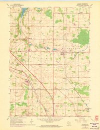
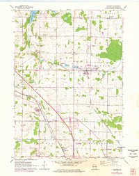
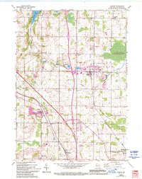
Editions of this 1959 Jackson Map
4 editions found
Other maps of this area

1892 · Waukesha
USGS Topo · 1:62,500

1892 · Oconomowoc
USGS Topo · 1:62,500

1901 · Waukesha
USGS Topo · 1:62,500

1904 · West Bend
USGS Topo · 1:62,500

1904 · Hartford
USGS Topo · 1:62,500

1906 · Waukesha
USGS Topo · 1:62,500

1909 · Oconomowoc
USGS Topo · 1:62,500

1957 · Madison
USGS Topo · 1:250,000
1958 · Menomonee Falls
USGS Topo · 1:24,000

1959 · West Bend
USGS Topo · 1:62,500