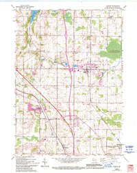
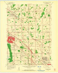
1959 Map of Jackson
USGS Topo · Published 1994About this map
Jackson serves as a focal point for this survey of Washington County, reflecting a landscape shaped by mid-century agriculture and the transit corridors of the Chicago and North Western and Minneapolis St Paul and Sault Ste Marie railroads. The area is dense with family and community history, evidenced by a high concentration of cemeteries such as Maxon Cem, Last Home Cem, and Erler Cem. These sites, alongside local institutions like Elmwood Sch and St Marys Ch, provide a detailed look at the social fabric of rural Wisconsin before significant suburban expansion.
Find a feature on this map
50 named features on this map. Tap any name to fly to it.
Don’t see what you’re looking for? This feature index may not catch every label — zoom into the map to look around manually.
Map Details
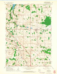
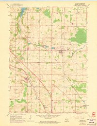
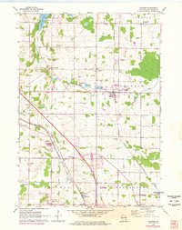
Editions of this 1959 Jackson Map
4 editions found
Other maps of this area

1892 · Waukesha
USGS Topo · 1:62,500

1892 · Oconomowoc
USGS Topo · 1:62,500

1901 · Waukesha
USGS Topo · 1:62,500

1904 · West Bend
USGS Topo · 1:62,500

1904 · Hartford
USGS Topo · 1:62,500

1906 · Waukesha
USGS Topo · 1:62,500

1909 · Oconomowoc
USGS Topo · 1:62,500

1957 · Madison
USGS Topo · 1:250,000
1958 · Menomonee Falls
USGS Topo · 1:24,000

1959 · West Bend
USGS Topo · 1:62,500