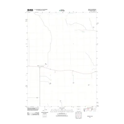
2011 Map of Nenzel
USGS Topo · Published 2011About this map
Nenzel serves as the primary focal point of this Cherry County landscape, situated along the east-west transportation corridor that defines the southern half of the quadrangle. The settlement is anchored by the Nenzel Post Office and the nearby Saint Marys Cemetery, while the surrounding terrain is defined by a series of significant family-owned ranching operations. Names like the Stasch Brothers Ranch, Krajeski Ranch, and Adamson Ranch are etched onto the map, reflecting a community structured around long-standing agricultural holdings. To the north, the winding course of Minnechaduza Creek breaks the grid, providing a vital water source in this South Dakota border region. The proximity of the Luther Ranch and Schmit Ranch further illustrates the expansive nature of these private estates, offering a detailed record of land use and family heritage in the Sandhills region.
Find a feature on this map
10 named features on this map. Tap any name to fly to it.
Don’t see what you’re looking for? This feature index may not catch every label — zoom into the map to look around manually.
Map Details
Editions of this 2011 Nenzel Map
This is the sole edition of this map. No revisions or reprints were ever made.
Other maps of this area

1950 · Kilgore
USGS Topo · 1:62,500

1950 · Cody
USGS Topo · 1:62,500

1955 · Martin
USGS Topo · 1:250,000

1957 · Valentine
USGS Topo · 1:250,000

1958 · Martin
USGS Topo · 1:250,000

1959 · Valentine
USGS Topo · 1:250,000

1969 · Spring Creek SW
USGS Topo · 1:24,000

1969 · Spring Creek
USGS Topo · 1:24,000

1969 · St. Francis SW
USGS Topo · 1:24,000

1982 · Mission
USGS Topo · 1:100,000