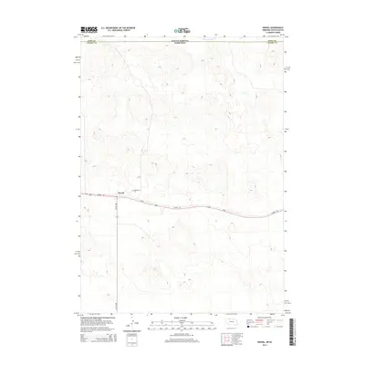
2014 Map of Nenzel
USGS Topo · Published 2014About this map
Nenzel serves as the primary settlement hub in this part of Cherry County, positioned along the southern edge of the state border with South Dakota. The village is anchored by transportation routes including Us-20 and the extensive Cowboy Trl, which follows the historic path of the Chicago and North Western Railway. The presence of Saint Marys Cem east of the village center provides a significant reference point for family historians and local researchers. Northward, the landscape is defined by the drainage of Minnechaduza Cr as it crosses the South Dakota Nebraska line into Todd County. The network of local roads, including the NE-16F-Spur, illustrates the grid-like organization typical of the Nebraska Sandhills, connecting the remote village to the wider region.
Find a feature on this map
8 named features on this map. Tap any name to fly to it.
Don’t see what you’re looking for? This feature index may not catch every label — zoom into the map to look around manually.
Map Details
Editions of this 2014 Nenzel Map
This is the sole edition of this map. No revisions or reprints were ever made.
Other maps of this area

1950 · Kilgore
USGS Topo · 1:62,500

1950 · Cody
USGS Topo · 1:62,500

1955 · Martin
USGS Topo · 1:250,000

1957 · Valentine
USGS Topo · 1:250,000

1958 · Martin
USGS Topo · 1:250,000

1959 · Valentine
USGS Topo · 1:250,000

1969 · Spring Creek SW
USGS Topo · 1:24,000

1969 · Spring Creek
USGS Topo · 1:24,000

1969 · St. Francis SW
USGS Topo · 1:24,000

1982 · Mission
USGS Topo · 1:100,000