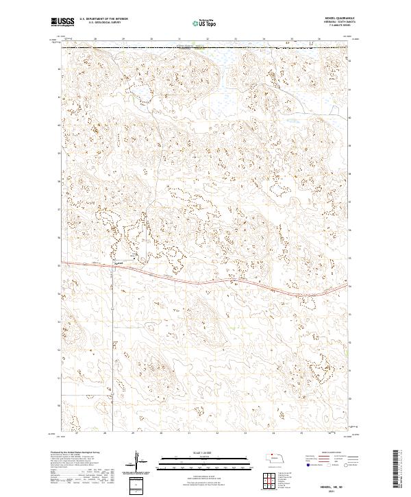
2021 Map of Nenzel
USGS Topo · Published 2021About this map
Nenzel occupies a central position in this survey of the Nebraska Sandhills, situated just south of the border between South Dakota and Nebraska. The village layout is defined by the intersection of Main St and Front St, serving as a localized hub for the surrounding ranching country. A short distance north of the settlement sits Saint Marys Cem, a key landmark for genealogists researching family ties in this part of Cherry County. The landscape is notably marked by the Cowboy Trl, which follows the path of a former railroad corridor through the sand dunes. This transition from rail to trail illustrates the evolving transport infrastructure of the region, where once-vital rail lines have been repurposed for modern recreation while maintaining the historical footprint of early settlement patterns in north-central Nebraska.
Find a feature on this map
10 named features on this map. Tap any name to fly to it.
Don’t see what you’re looking for? This feature index may not catch every label — zoom into the map to look around manually.
Map Details
Editions of this 2021 Nenzel Map
This is the sole edition of this map. No revisions or reprints were ever made.
Other maps of this area

1950 · Kilgore
USGS Topo · 1:62,500

1950 · Cody
USGS Topo · 1:62,500

1955 · Martin
USGS Topo · 1:250,000

1957 · Valentine
USGS Topo · 1:250,000

1958 · Martin
USGS Topo · 1:250,000

1959 · Valentine
USGS Topo · 1:250,000

1969 · Spring Creek SW
USGS Topo · 1:24,000

1969 · Spring Creek
USGS Topo · 1:24,000

1969 · St. Francis SW
USGS Topo · 1:24,000

1982 · Mission
USGS Topo · 1:100,000