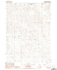
1985 Map of Nenzel
USGS Topo · Published 1985About this map
Nenzel serves as the central hub for this rural Cherry County landscape, situated along the Chicago and North Western railroad line. The settlement is anchored by local landmarks such as St Marys Cem and a nearby Radio Tower, while the surrounding terrain is defined by its deep ranching heritage. Several family-run operations are documented across the plains, including Luther Ranch, Krajeski Ranch, Schmit Ranch, and Stasch Brothers Ranch.
Find a feature on this map
16 named features on this map. Tap any name to fly to it.
Don’t see what you’re looking for? This feature index may not catch every label — zoom into the map to look around manually.
Map Details
Editions of this 1985 Nenzel Map
This is the sole edition of this map. No revisions or reprints were ever made.
Other maps of this area

1950 · Kilgore
USGS Topo · 1:62,500

1950 · Cody
USGS Topo · 1:62,500

1955 · Martin
USGS Topo · 1:250,000

1957 · Valentine
USGS Topo · 1:250,000

1958 · Martin
USGS Topo · 1:250,000

1959 · Valentine
USGS Topo · 1:250,000

1969 · Spring Creek SW
USGS Topo · 1:24,000

1969 · Spring Creek
USGS Topo · 1:24,000

1969 · St. Francis SW
USGS Topo · 1:24,000

1982 · Mission
USGS Topo · 1:100,000