Loading...
Loading map...2022 Map of Neopit
USGS Topo · Published 2022About this map
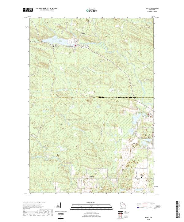
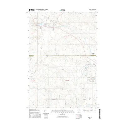
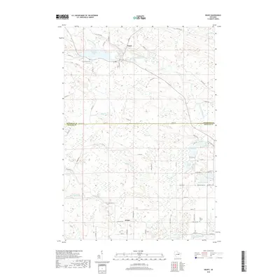
Neopit sits at the northern edge of this Wisconsin survey, where the Neopit Millpond meets the West Branch Wolf River. This region is defined by its complex network of waterways, including the West Branch Red River and numerous glacial lakes such as Island Lake and Beaulieu Lake. The settlement of Morgan appears further south, connected by a grid of rural and reservation roads including Resvn Hwy 22 and Dodge Farm Rd.
Find a feature on this map
70 named features on this map. Tap any name to fly to it.
Don’t see what you’re looking for? This feature index may not catch every label — zoom into the map to look around manually.
Map Details
Date Portrayed2022
Date Published2022
PublisherU.S. Geological Survey
Map TypeTopographic
Scale1:24,000
Physical Dimensions24 x 29 inches
Editions of this 2022 Neopit Map
This is the sole edition of this map. No revisions or reprints were ever made.
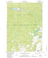
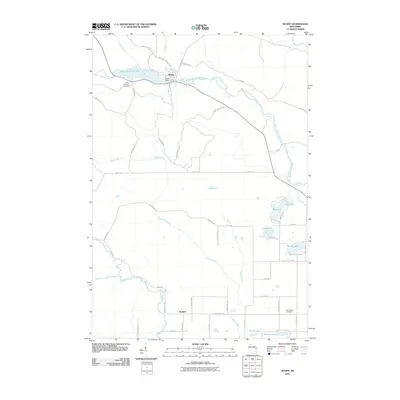
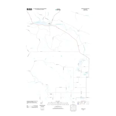
Historical Maps of Neopit Through Time
6 maps found
Featured Locations
Source Details
SourceU.S. Geological Survey
CopyrightPublic Domain