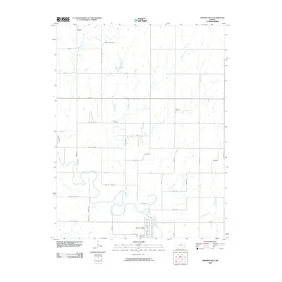
2009 Map of Neosho Falls
USGS Topo · Published 2009About this map
Neosho Falls sits along a prominent bend in the Neosho River, where the waterway creates a distinctive landform known as The Island. This Woodson County landscape is defined by the winding paths of several tributaries, including Crooked Creek, Twiss Creek, and Spring Creek, which dissect the rural grid of country roads. For those researching local families and genealogy, several burial grounds are preserved across the area, from the Stoeltzing Cemetery in the north to the Cedarvale Cemetery south of the primary settlement. The map illustrates the 2009 road network, where local routes like Tadpole Rd and Shetland Rd connect the scattered farms and homesteads that have long characterized this part of eastern Kansas. The confluence of these multiple creeks into the larger river basin highlights the importance of the Neosho drainage system to the region's agricultural layout.
Find a feature on this map
44 named features on this map. Tap any name to fly to it.
Don’t see what you’re looking for? This feature index may not catch every label — zoom into the map to look around manually.
Map Details
Editions of this 2009 Neosho Falls Map
This is the sole edition of this map. No revisions or reprints were ever made.
Other maps of this area

1885 · Burlington
USGS Topo · 1:125,000

1885 · Garnett
USGS Topo · 1:125,000

1886 · Fredonia
USGS Topo · 1:125,000

1886 · Iola
USGS Topo · 1:125,000

1893 · Iola
USGS Topo · 1:125,000

1894 · Garnett
USGS Topo · 1:125,000

1894 · Fredonia
USGS Topo · 1:125,000

1894 · Burlington
USGS Topo · 1:125,000

1904 · Iola
USGS Topo · 1:125,000

1947 · Lawrence
USGS Topo · 1:250,000