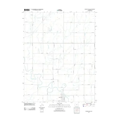
2012 Map of Neosho Falls
USGS Topo · Published 2012About this map
The Neosho River meanders through the heart of this Woodson County landscape, shaping a distinct oxbow feature known as The Island just north of the town site. Neosho Falls serves as the primary settlement, laid out in a grid near the banks of the river and Spring Cr. The surrounding rural landscape is defined by a dense network of sectional roads and a series of smaller waterways, including Twiss Cr, Loss Cr, and Rock Cr. Genealogists will find several burial sites preserved across the township, such as Cedarvale Cem on the southern edge of town, and the more remote Wooster Cem, Logue Cem, and Stoeltzing Cem. North of the river, Circle Lake sits nestled within the drainage basin, illustrating the water-dependent geography of the region.
Find a feature on this map
61 named features on this map. Tap any name to fly to it.
Don’t see what you’re looking for? This feature index may not catch every label — zoom into the map to look around manually.
Map Details
Editions of this 2012 Neosho Falls Map
This is the sole edition of this map. No revisions or reprints were ever made.
Other maps of this area

1885 · Burlington
USGS Topo · 1:125,000

1885 · Garnett
USGS Topo · 1:125,000

1886 · Fredonia
USGS Topo · 1:125,000

1886 · Iola
USGS Topo · 1:125,000

1893 · Iola
USGS Topo · 1:125,000

1894 · Garnett
USGS Topo · 1:125,000

1894 · Fredonia
USGS Topo · 1:125,000

1894 · Burlington
USGS Topo · 1:125,000

1904 · Iola
USGS Topo · 1:125,000

1947 · Lawrence
USGS Topo · 1:250,000