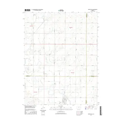
2015 Map of Neosho Falls
USGS Topo · Published 2015About this map
Neosho Falls sits at the southern edge of this landscape, positioned along a winding bend of the Neosho River. The settlement pattern here is defined by its relationship with the water, including a prominent feature known simply as The Island and the nearby Circle Lake. This 2015 U.S. Geological Survey representation documents the rural character of the area where Woodson Co meets Coffey Co, Anderson Co, and Allen Co.
Find a feature on this map
89 named features on this map. Tap any name to fly to it.
Don’t see what you’re looking for? This feature index may not catch every label — zoom into the map to look around manually.
Map Details
Editions of this 2015 Neosho Falls Map
This is the sole edition of this map. No revisions or reprints were ever made.
Other maps of this area

1885 · Burlington
USGS Topo · 1:125,000

1885 · Garnett
USGS Topo · 1:125,000

1886 · Fredonia
USGS Topo · 1:125,000

1886 · Iola
USGS Topo · 1:125,000

1893 · Iola
USGS Topo · 1:125,000

1894 · Garnett
USGS Topo · 1:125,000

1894 · Fredonia
USGS Topo · 1:125,000

1894 · Burlington
USGS Topo · 1:125,000

1904 · Iola
USGS Topo · 1:125,000

1947 · Lawrence
USGS Topo · 1:250,000