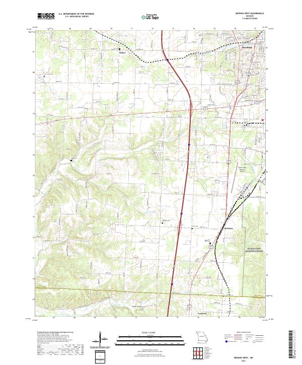
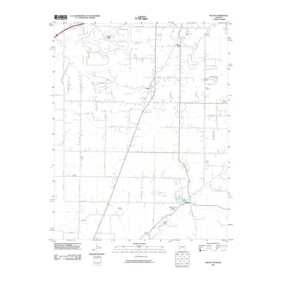
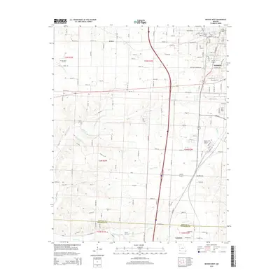
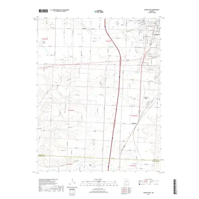
2021 Map of Neosho West
USGS Topo · Published 2021About this map
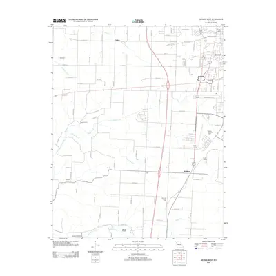
Neosho anchor the northeastern corner of this southwestern Missouri landscape, where the Ozark foothills meet the plains. The terrain is defined by a series of drainage systems, including Buffalo Cr and the Sugar Fork, which carve through the countryside toward the Newton and McDonald county line. The map captures a well-established rural network of family-named roads and cemeteries, such as Belfast Cem and Ragan Cem, serving small communities like Belfast and McElhany.
Find a feature on this map
71 named features on this map. Tap any name to fly to it.
Don’t see what you’re looking for? This feature index may not catch every label — zoom into the map to look around manually.
Map Details
Editions of this 2021 Neosho West Map
This is the sole edition of this map. No revisions or reprints were ever made.
Historical Maps of Neosho Through Time
22 maps found
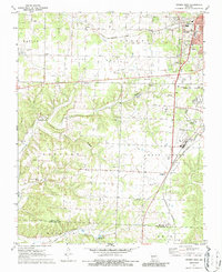
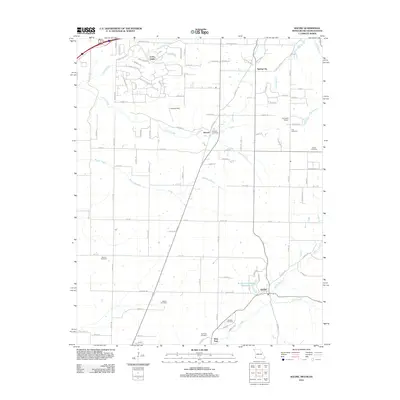
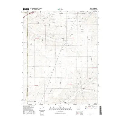
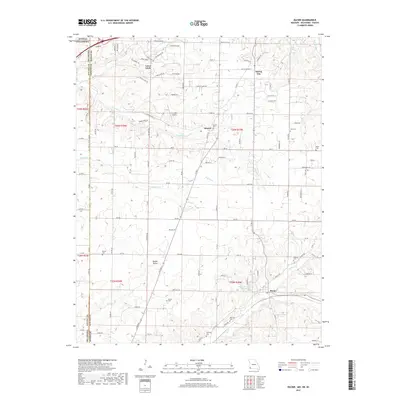
1949 Racine
Newton County, MO
1950 Racine
Newton County, MO
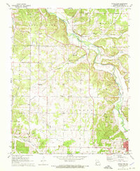
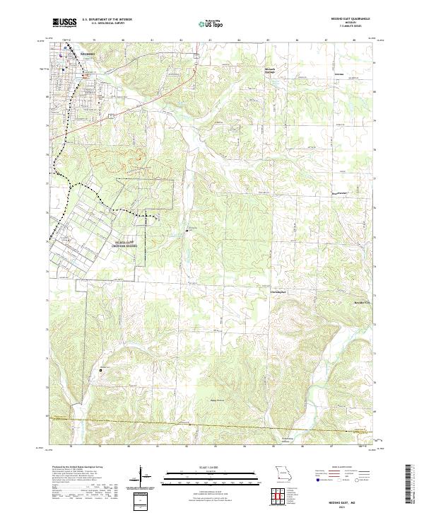
1972 Neosho East
Newton County, MO
1972 Neosho West
Newton County, MO
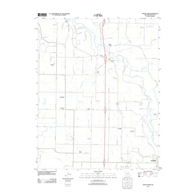
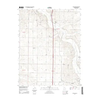
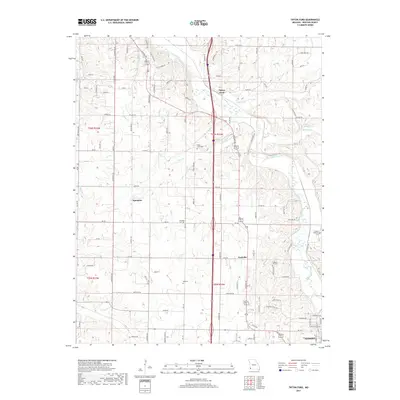
1972 Tipton Ford
Newton County, MO
2010 Racine
Newton County, MO
2012 Neosho East
Newton County, MO
2012 Neosho West
Newton County, MO
2012 Racine
Newton County, MO
2012 Tipton Ford
Newton County, MO
2015 Neosho East
Newton County, MO
2015 Neosho West
Newton County, MO
2015 Racine
Newton County, MO
2015 Tipton Ford
Newton County, MO
2017 Neosho East
Newton County, MO
2017 Neosho West
Newton County, MO
2017 Racine
Newton County, MO
2017 Tipton Ford
Newton County, MO
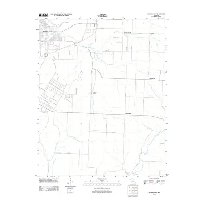
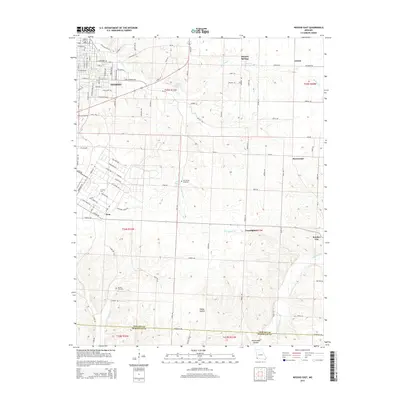
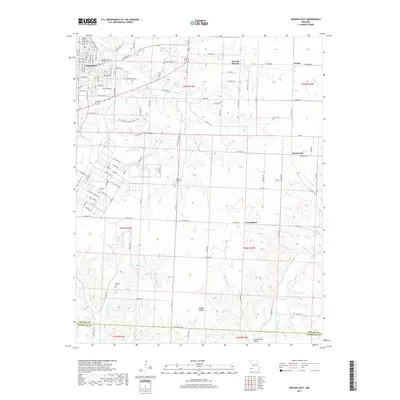
2021 Neosho East
Newton County, MO
2021 Neosho West
Newton County, MO
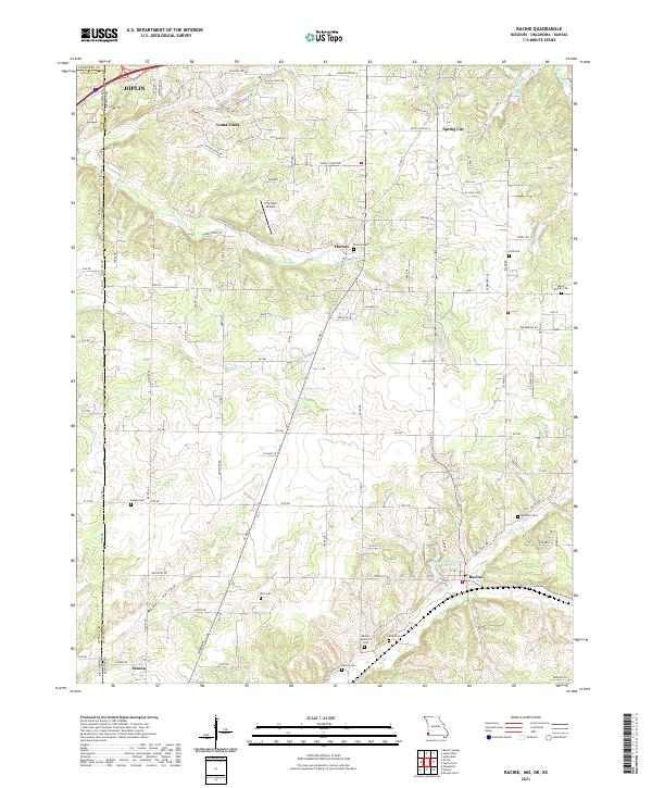
2021 Racine
Newton County, MO
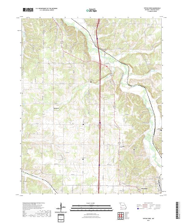
2021 Tipton Ford
Newton County, MO