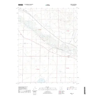
2019 Map of Nepesta
USGS Topo · Published 2019About this map
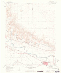
The Arkansas River serves as the central artery for this high-plains landscape, where an extensive network of human-made waterways reveals a long history of desert irrigation. In the southeast, the settlement of Nepesta is anchored by the Nepesta Cem, while the surrounding terrain is etched by the Oxford-Farmers-Ditch, Welton Ditch, and the massive Colorado Canal. This intricate system of water management, which also includes the Rocky Ford Highline Canal and the Dotson and Enlargement Reservoir, highlights the critical role of hydraulic engineering in the agricultural development of Pueblo County. The map provides a detailed look at how natural features like Kramer Cr and Thompson Arroyo are integrated into a grid-based rural landscape defined by local routes such as Nepesta Rd and Garcia Rd.
Find a feature on this map
23 named features on this map. Tap any name to fly to it.
Don’t see what you’re looking for? This feature index may not catch every label — zoom into the map to look around manually.
Map Details
Editions of this 2019 Nepesta Map
This is the sole edition of this map. No revisions or reprints were ever made.
Other maps of this area

1891 · Nepesta
USGS Topo · 1:125,000

1893 · Nepesta
USGS Topo · 1:125,000

1904 · Nepesta
USGS Topo · 1:125,000

1954 · Pueblo
USGS Topo · 1:250,000

1957 · Pueblo
USGS Topo · 1:250,000

1958 · Pueblo
USGS Topo · 1:250,000
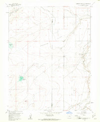
1958 · Hardesty Reservoir
USGS Topo · 1:24,000
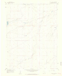
1959 · Flying A Ranch
USGS Topo · 1:24,000
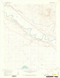
1960 · Nepesta
USGS Topo · 1:24,000
1960 · Fowler
USGS Topo · 1:24,000