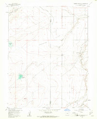
1958 Map of Hardesty Reservoir
USGS Topo · Published 1961About this map
Agricultural irrigation networks define this mid-century landscape along the Pueblo Co Otero Co boundary. The complex water management system is anchored by the Highline Canal and the Oxford Farmers Ditch, which redirect water across the arid terrain of Hungerford Hollow. At the heart of the eastern section, the Apishapa River carves a deep valley, joined by Mustang Creek as it flows toward the ranchlands. Local infrastructure is concentrated near the northern edge, where Fowler Airfield and the Fowler Golf Course mark the transition toward the nearby town. To the west, isolated water bodies like Hardesty Reservoir and Hungerford Lake provide critical catchment in a region characterized by family-named landmarks like the Arnold and Harriman Ranch.
Find a feature on this map
13 named features on this map. Tap any name to fly to it.
Don’t see what you’re looking for? This feature index may not catch every label — zoom into the map to look around manually.
Map Details
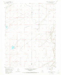
Editions of this 1958 Hardesty Reservoir Map
2 editions found
Other maps of this area

1891 · Catlin
USGS Topo · 1:125,000

1891 · Timpas
USGS Topo · 1:125,000

1891 · Nepesta
USGS Topo · 1:125,000

1891 · Apishapa
USGS Topo · 1:125,000

1893 · Nepesta
USGS Topo · 1:125,000

1893 · Apishapa
USGS Topo · 1:125,000

1893 · Catlin
USGS Topo · 1:125,000

1894 · Timpas
USGS Topo · 1:125,000

1897 · Apishapa
USGS Topo · 1:125,000

1904 · Nepesta
USGS Topo · 1:125,000