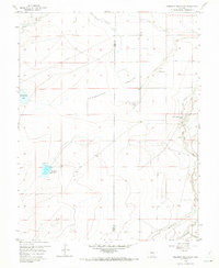
1958 Map of Hardesty Reservoir
USGS Topo · Published 1973About this map
Agricultural development along the high plains of the Pueblo Co Otero Co line is defined by an intricate network of irrigation infrastructure. The Rocky Ford High Line Canal and Oxford Farmers Ditch represent the vital water management systems that supported ranching and farming in this arid landscape during the late 1950s. While most of the terrain is marked by the expansive Hungerford Hollow, localized water features like Hardesty Reservoir and Hungerford Lake provide essential points of orientation.
Find a feature on this map
11 named features on this map. Tap any name to fly to it.
Don’t see what you’re looking for? This feature index may not catch every label — zoom into the map to look around manually.
Map Details
Editions of this 1958 Hardesty Reservoir Map
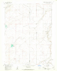
2 editions found
Other maps of this area

1891 · Catlin
USGS Topo · 1:125,000

1891 · Timpas
USGS Topo · 1:125,000

1891 · Nepesta
USGS Topo · 1:125,000

1891 · Apishapa
USGS Topo · 1:125,000

1893 · Nepesta
USGS Topo · 1:125,000

1893 · Apishapa
USGS Topo · 1:125,000

1893 · Catlin
USGS Topo · 1:125,000

1894 · Timpas
USGS Topo · 1:125,000

1897 · Apishapa
USGS Topo · 1:125,000

1904 · Nepesta
USGS Topo · 1:125,000