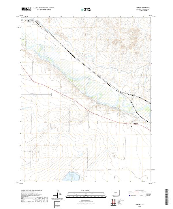
2022 Map of Nepesta
USGS Topo · Published 2022About this map
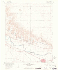
Arkansas River hydrology and irrigation systems define the landscape of eastern Pueblo County in this contemporary survey. The settlement of Nepesta is situated north of the river, where the Nepesta Cem provides a local genealogical landmark. The terrain is deeply influenced by water management, featuring a dense network of man-made waterways including the Rocky Ford Highline Canal, the Oxford-Farmers-Ditch, and the Welton Ditch. To the south, the Dotson and Enlargement Reservoir marks a significant catchment area, while the Thompson Arroyo carves a natural drainage path toward the valley floor. This 2022 dataset captures the intricate balance between the natural river flow and the extensive canal infrastructure required for local agriculture and water distribution.
Find a feature on this map
31 named features on this map. Tap any name to fly to it.
Don’t see what you’re looking for? This feature index may not catch every label — zoom into the map to look around manually.
Map Details
Editions of this 2022 Nepesta Map
This is the sole edition of this map. No revisions or reprints were ever made.
Other maps of this area

1891 · Nepesta
USGS Topo · 1:125,000

1893 · Nepesta
USGS Topo · 1:125,000

1904 · Nepesta
USGS Topo · 1:125,000

1954 · Pueblo
USGS Topo · 1:250,000

1957 · Pueblo
USGS Topo · 1:250,000

1958 · Pueblo
USGS Topo · 1:250,000
1958 · Hardesty Reservoir
USGS Topo · 1:24,000
1959 · Flying A Ranch
USGS Topo · 1:24,000
1960 · Nepesta
USGS Topo · 1:24,000
1960 · Fowler
USGS Topo · 1:24,000