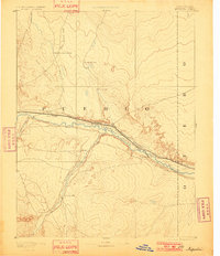
1893 Map of Nepesta
USGS Topo · Published 1901About this map
The confluence of the Arkansas River and Huerfano River serves as the focal point for this late 19th-century landscape in Pueblo County. Surveyed by J.W. Hays in 1889, the map reveals a corridor of rapid transition where two major rail lines—the Atchison Topeka and Santa Fe Railroad and the Missouri Pacific Railroad—shadow the river's path. These steel arteries supported small riverside hubs like Booneville and Nepesta, which emerged as critical logistics points for the surrounding plains.
Find a feature on this map
17 named features on this map. Tap any name to fly to it.
Don’t see what you’re looking for? This feature index may not catch every label — zoom into the map to look around manually.
Map Details
Editions of this 1893 Nepesta Map
2 editions found
Other maps of this area

1889 · Sanborn
USGS Topo · 1:125,000

1891 · Walsenburg
USGS Topo · 1:125,000

1891 · Sanborn
USGS Topo · 1:125,000

1891 · Catlin
USGS Topo · 1:125,000

1891 · Pueblo
USGS Topo · 1:125,000

1891 · Timpas
USGS Topo · 1:125,000

1891 · Nepesta
USGS Topo · 1:125,000

1891 · Apishapa
USGS Topo · 1:125,000

1893 · Nepesta
USGS Topo · 1:125,000

1893 · Sanborn
USGS Topo · 1:125,000