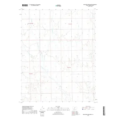
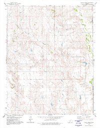
2018 Map of Nescatunga Creek North
USGS Topo · Published 2018About this map
Nescatunga Cem stands as a focal point for local history in this section of Comanche County, located near the upper reaches of the Nescatunga Cr. The landscape is defined by an intricate network of drainage systems, including the W Br Nescatunga Cr and E Br Nescatunga Cr, which carve through the plains. This area maintains a traditional rural grid, with long-established routes such as CM Ave L and Ave P providing access to the various forks and draws. To the east, the terrain shifts toward the basins of Sand Cr and Wildcat Cr. The map preserves the specific land divisions and rural intersections characteristic of this part of the Kansas prairie, documenting the relationship between the cemetery site and the waterways that likely influenced early settlement patterns.
Find a feature on this map
17 named features on this map. Tap any name to fly to it.
Don’t see what you’re looking for? This feature index may not catch every label — zoom into the map to look around manually.
Map Details
Editions of this 2018 Nescatunga Creek North Map
This is the sole edition of this map. No revisions or reprints were ever made.
Other maps of this area

1892 · Coldwater
USGS Topo · 1:125,000

1955 · Pratt
USGS Topo · 1:250,000

1959 · Pratt
USGS Topo · 1:250,000

1968 · Wilmore SE
USGS Topo · 1:24,000

1979 · Coldwater
USGS Topo · 1:24,000

1979 · Protection NE
USGS Topo · 1:24,000
1979 · Nescatunga Creek South
USGS Topo · 1:24,000
1980 · Nescatunga Creek North
USGS Topo · 1:24,000
1980 · Wilmore
USGS Topo · 1:24,000
1980 · Indian Creek
USGS Topo · 1:24,000