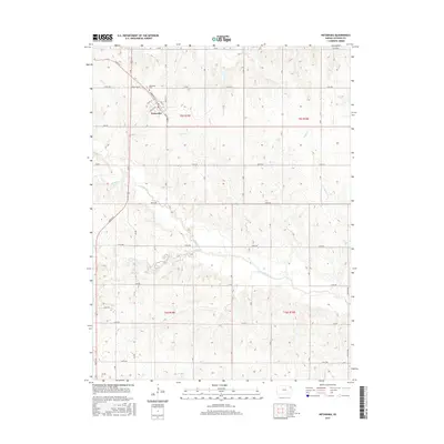
2015 Map of Netawaka
USGS Topo · Published 2015About this map
Netawaka stands as the primary settlement on this Jackson County landscape, situated along a grid of historic streets including White Way St and Commercial St. The town's civic heart is marked by the Po, while the nearby Netawaka Cem provides a focal point for genealogical research in this part of Kansas. The surrounding rural landscape is defined by the township and range system, with section lines and numbered roads like 270th Rd and 310th Rd cutting across the undulating terrain.
Find a feature on this map
32 named features on this map. Tap any name to fly to it.
Don’t see what you’re looking for? This feature index may not catch every label — zoom into the map to look around manually.
Map Details
Editions of this 2015 Netawaka Map
This is the sole edition of this map. No revisions or reprints were ever made.
Other maps of this area

1888 · Hiawatha
USGS Topo · 1:125,000

1889 · Topeka
USGS Topo · 1:125,000

1894 · Topeka
USGS Topo · 1:125,000

1894 · Hiawatha
USGS Topo · 1:125,000

1950 · Kansas City
USGS Topo · 1:250,000

1954 · Kansas City
USGS Topo · 1:250,000

1956 · Kansas City
USGS Topo · 1:250,000

1960 · Kansas City
USGS Topo · 1:250,000
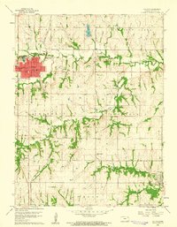
1960 · Holton
USGS Topo · 1:24,000
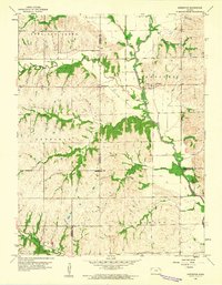
1960 · Arrington
USGS Topo · 1:24,000