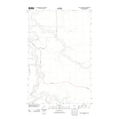
2013 Map of Nett Lake River West
USGS Topo · Published 2013About this map
The Little Fork River meanders through the dense wetlands and forest of northern Koochiching County, joined by the Nett Lake River in this sparsely populated stretch of Minnesota. The landscape is defined by the hydrologic network, featuring the turbulent Deadmans Rapids along the Little Fork. Human presence is largely limited to a grid of utilitarian forest roads and logging routes, including Industrial Ave and Promersberger Rd. For genealogists and local historians, the Dentaybow Cem stands as a significant landmark near the junction of Co HWY-8 and Industrial Ave, marking the site of a community that persists primarily through its roads and final resting places. This 2013 survey provides a clear view of the modern timber and transport infrastructure, where Town Road 60 and River Rd navigate the low-lying terrain adjacent to the riverbanks.
Find a feature on this map
12 named features on this map. Tap any name to fly to it.
Don’t see what you’re looking for? This feature index may not catch every label — zoom into the map to look around manually.
Map Details
Editions of this 2013 Nett Lake River West Map
This is the sole edition of this map. No revisions or reprints were ever made.
Other maps of this area

1919 · Happy Land
USGS Topo · 1:62,500

1919 · M
USGS Topo · 1:62,500

1954 · International Falls
USGS Topo · 1:250,000

1957 · International Falls
USGS Topo · 1:250,000

1958 · International Falls
USGS Topo · 1:250,000

1969 · Ericsburg SE
USGS Topo · 1:24,000

1969 · Ericsburg SW
USGS Topo · 1:24,000

1970 · Johnson Landing SE
USGS Topo · 1:24,000

1970 · Littlefork SE
USGS Topo · 1:24,000

1970 · Nett Lake River SE
USGS Topo · 1:24,000