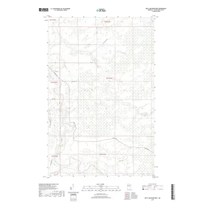
2019 Map of Nett Lake River West
USGS Topo · Published 2019About this map
The Little Fork River winds through this corner of Koochiching County, joined by the Nett Lake River in a landscape dominated by extensive wetlands and forest. This 2019 survey captures the area's rural character, where the small Dentaybow Cem stands as a quiet marker of local history near the riverbanks. The terrain is defined by low-lying marshlands, with the river's path punctuated by features like Deadmans Rapids. Modern access is provided by a network of local routes such as River Rd and Promersberger Rd, alongside timber-related thoroughfares like Industrial Ave. These roads navigate the township lines of the Public Land Survey System, which divides the territory into sections including t66n r24w and t67n r25w.
Find a feature on this map
20 named features on this map. Tap any name to fly to it.
Don’t see what you’re looking for? This feature index may not catch every label — zoom into the map to look around manually.
Map Details
Editions of this 2019 Nett Lake River West Map
This is the sole edition of this map. No revisions or reprints were ever made.
Other maps of this area

1919 · Happy Land
USGS Topo · 1:62,500

1919 · M
USGS Topo · 1:62,500

1954 · International Falls
USGS Topo · 1:250,000

1957 · International Falls
USGS Topo · 1:250,000

1958 · International Falls
USGS Topo · 1:250,000

1969 · Ericsburg SE
USGS Topo · 1:24,000

1969 · Ericsburg SW
USGS Topo · 1:24,000

1970 · Johnson Landing SE
USGS Topo · 1:24,000

1970 · Littlefork SE
USGS Topo · 1:24,000

1970 · Nett Lake River SE
USGS Topo · 1:24,000