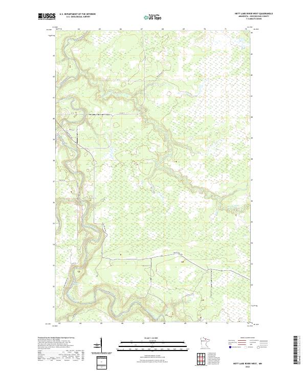
2022 Map of Nett Lake River West
USGS Topo · Published 2022About this map
The Little Fork River meanders sharply through the remote bog and wetland terrain of northern Minnesota, dominating the landscape of this Koochiching County survey. This riverine environment is defined by its dramatic oxbows and the confluence with the Nett Lake River, which enters from the east. Navigation along these waters is marked by Deadmans Rapids, a distinct natural feature in an otherwise low-lying expanse of marshes and thickets.
Find a feature on this map
20 named features on this map. Tap any name to fly to it.
Don’t see what you’re looking for? This feature index may not catch every label — zoom into the map to look around manually.
Map Details
Editions of this 2022 Nett Lake River West Map
This is the sole edition of this map. No revisions or reprints were ever made.
Other maps of this area

1919 · Happy Land
USGS Topo · 1:62,500

1919 · M
USGS Topo · 1:62,500

1954 · International Falls
USGS Topo · 1:250,000

1957 · International Falls
USGS Topo · 1:250,000

1958 · International Falls
USGS Topo · 1:250,000

1969 · Ericsburg SE
USGS Topo · 1:24,000

1969 · Ericsburg SW
USGS Topo · 1:24,000

1970 · Johnson Landing SE
USGS Topo · 1:24,000

1970 · Littlefork SE
USGS Topo · 1:24,000

1970 · Nett Lake River SE
USGS Topo · 1:24,000