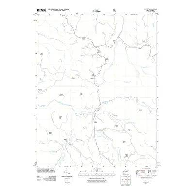
2011 Map of Nettie
USGS Topo · Published 2011About this map
Nettie serves as a central hub in this part of Nicholas County, where the Nettie Post Office and Olive Branch Cemetery sit at the intersection of several local routes. The landscape is defined by the winding course of Hominy Creek and its many tributaries, including Brushy Meadow Creek and Roaring Creek. This 2011 survey captures the rural character of the region, where small settlements like Leivasy, Tolbert, and Odell Town are dispersed among prominent high points such as Beech Knob and Hurricane Ridge.
Find a feature on this map
88 named features on this map. Tap any name to fly to it.
Don’t see what you’re looking for? This feature index may not catch every label — zoom into the map to look around manually.
Map Details
Editions of this 2011 Nettie Map
This is the sole edition of this map. No revisions or reprints were ever made.
Other maps of this area

1889 · Nicholas
USGS Topo · 1:125,000

1891 · Nicholas
USGS Topo · 1:125,000

1901 · Nicholas
USGS Topo · 1:125,000

1913 · Summersville
USGS Topo · 1:48,000

1914 · Winona
USGS Topo · 1:48,000

1915 · Cowen
USGS Topo · 1:48,000
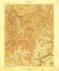
1915 · Summersville
USGS Topo · 1:62,500

1916 · Winona
USGS Topo · 1:62,500

1917 · Cowen
USGS Topo · 1:62,500

1918 · Richwood
USGS Topo · 1:62,500