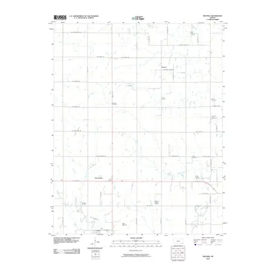
2010 Map of Neutral
USGS Topo · Published 2010About this map
Neutral sits at the heart of this Cherokee County landscape, surrounded by a dense network of family and community burial grounds that speak to the area's deep-rooted settlement history. From the Brush Creek Cemetery in the north to the Crum Cemetery and the large Baxter Springs Cemetery further south, the map is an essential resource for tracing local genealogy. The southern portion of the sheet is marked by the industrial and aviation presence of the Walter A Swalley Airpark and the town of Treece, situated near the distinctive Blue Mound.
Find a feature on this map
49 named features on this map. Tap any name to fly to it.
Don’t see what you’re looking for? This feature index may not catch every label — zoom into the map to look around manually.
Map Details
Editions of this 2010 Neutral Map
This is the sole edition of this map. No revisions or reprints were ever made.
Other maps of this area

1886 · Joplin
USGS Topo · 1:125,000

1894 · Joplin
USGS Topo · 1:125,000

1907 · Wyandotte
USGS Topo · 1:125,000

1909 · Wyandotte
USGS Topo · 1:125,000

1918 · Columbus
USGS Topo · 1:62,500

1947 · Joplin
USGS Topo · 1:250,000

1949 · Joplin
USGS Topo · 1:250,000

1954 · Tulsa
USGS Topo · 1:250,000

1954 · Joplin
USGS Topo · 1:250,000

1958 · Joplin
USGS Topo · 1:250,000