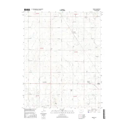
2015 Map of Neutral
USGS Topo · Published 2015About this map
Baxter Springs and the rural townships of Cherokee County are documented in this modern survey, highlighting the transition from the city's residential streets to the agricultural landscape of southeastern Kansas. The landscape is defined by its numerous family and community burial grounds, such as Beasley Cem, Dockery Cem, and Usrey Cem, reflecting generations of local settlement. A notable point of historical interest is the Baxter Springs City Cem Soldiers Lot, which honors the area’s Civil War legacy.
Find a feature on this map
45 named features on this map. Tap any name to fly to it.
Don’t see what you’re looking for? This feature index may not catch every label — zoom into the map to look around manually.
Map Details
Editions of this 2015 Neutral Map
This is the sole edition of this map. No revisions or reprints were ever made.
Other maps of this area

1886 · Joplin
USGS Topo · 1:125,000

1894 · Joplin
USGS Topo · 1:125,000

1907 · Wyandotte
USGS Topo · 1:125,000

1909 · Wyandotte
USGS Topo · 1:125,000

1918 · Columbus
USGS Topo · 1:62,500

1947 · Joplin
USGS Topo · 1:250,000

1949 · Joplin
USGS Topo · 1:250,000

1954 · Tulsa
USGS Topo · 1:250,000

1954 · Joplin
USGS Topo · 1:250,000

1958 · Joplin
USGS Topo · 1:250,000