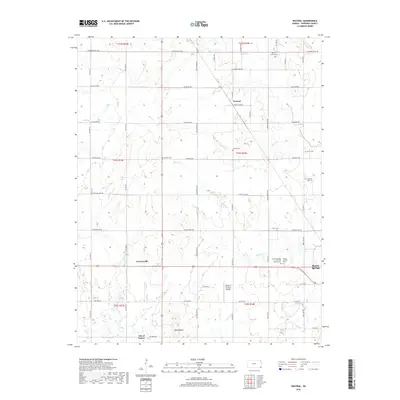
2018 Map of Neutral
USGS Topo · Published 2018About this map
Neutral and the surrounding agricultural landscape of Cherokee County appear here in a period of transition, where established rural routes like SW Boston Mills Rd and SE Quaker Rd define a grid-like settlement pattern. The southern portion of the sheet is anchored by the northern reaches of the City of Treece and the outskirts of Baxter Springs. A significant concentration of local history is preserved in the numerous burial sites across the quadrangle, including the Baxter Springs City Cem Soldiers' Lot and the Pleasant View Cem. The terrain is characterized by gentle shifts in elevation near Blue Mound and the winding paths of Willow Cr and Bitter Cr. Aviation history is represented by the Walter A Swalley Airpark, while smaller hamlets like Cravensville remain distinct markers of the area's development.
Find a feature on this map
46 named features on this map. Tap any name to fly to it.
Don’t see what you’re looking for? This feature index may not catch every label — zoom into the map to look around manually.
Map Details
Editions of this 2018 Neutral Map
This is the sole edition of this map. No revisions or reprints were ever made.
Other maps of this area

1886 · Joplin
USGS Topo · 1:125,000

1894 · Joplin
USGS Topo · 1:125,000

1907 · Wyandotte
USGS Topo · 1:125,000

1909 · Wyandotte
USGS Topo · 1:125,000

1918 · Columbus
USGS Topo · 1:62,500

1947 · Joplin
USGS Topo · 1:250,000

1949 · Joplin
USGS Topo · 1:250,000

1954 · Tulsa
USGS Topo · 1:250,000

1954 · Joplin
USGS Topo · 1:250,000

1958 · Joplin
USGS Topo · 1:250,000