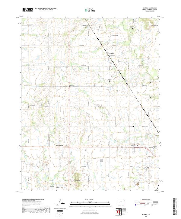
2022 Map of Neutral
USGS Topo · Published 2022About this map
Baxter Springs and the southern corner of Cherokee County are defined here by a transition from the Kansas prairie into the legacy of the Tri-State mining district. The landscape is marked by historic burial grounds like the Baxter Springs City Cem Soldiers Lot and Ferris Cem, while the industrial past is visible in the footprint of the City of Treece, a community significantly impacted by historical lead and zinc operations. North of the town center, small unincorporated settlements like Neutral and Cravensville sit along a grid of section-line roads, anchored by the prominent rise of Blue Mound.
Find a feature on this map
45 named features on this map. Tap any name to fly to it.
Don’t see what you’re looking for? This feature index may not catch every label — zoom into the map to look around manually.
Map Details
Editions of this 2022 Neutral Map
This is the sole edition of this map. No revisions or reprints were ever made.
Other maps of this area

1886 · Joplin
USGS Topo · 1:125,000

1894 · Joplin
USGS Topo · 1:125,000

1907 · Wyandotte
USGS Topo · 1:125,000

1909 · Wyandotte
USGS Topo · 1:125,000

1918 · Columbus
USGS Topo · 1:62,500

1947 · Joplin
USGS Topo · 1:250,000

1949 · Joplin
USGS Topo · 1:250,000

1954 · Tulsa
USGS Topo · 1:250,000

1954 · Joplin
USGS Topo · 1:250,000

1958 · Joplin
USGS Topo · 1:250,000