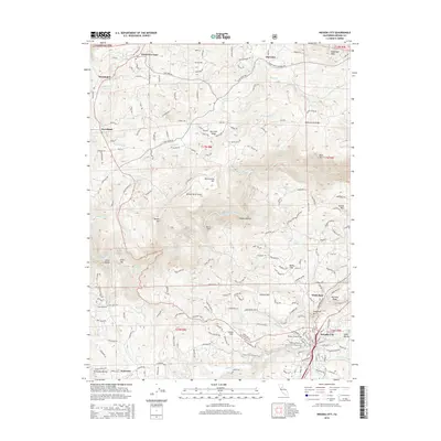
2015 Map of Nevada City
USGS Topo · Published 2015About this map
Nevada City sits at the base of Harmony Ridge, where the Sierra Nevada foothills meet a complex network of canyons and ridges. This 2015 study traces the modern footprint of California Gold Country, showing the spatial relationship between the historic county seat and outlying settlements such as North San Juan, Cherokee, and Sweetland. The landscape is dominated by the South Yuba River and its major tributaries like Shady Cr, which have carved deep ravines including Jones Ravine and Meyers Ravine. Higher elevations are marked by Montezuma Ridge and San Juan Ridge, while the eastern edge of the map reaches toward Sugarloaf Peak. Local history and genealogy are anchored by features such as the Pioneer Cemetery and Indian Flat, while the region's infrastructure is represented by the Milhous Ranch Airport and the Gold Run rail line.
Find a feature on this map
189 named features on this map. Tap any name to fly to it.
Don’t see what you’re looking for? This feature index may not catch every label — zoom into the map to look around manually.
Map Details
Editions of this 2015 Nevada City Map
This is the sole edition of this map. No revisions or reprints were ever made.
Other maps of this area

1888 · Smartsville
USGS Topo · 1:125,000

1891 · Colfax
USGS Topo · 1:125,000

1891 · Smartsville
USGS Topo · 1:125,000

1892 · Smartsville
USGS Topo · 1:125,000

1892 · Colfax
USGS Topo · 1:125,000

1894 · Colfax
USGS Topo · 1:125,000

1894 · Smartsville
USGS Topo · 1:125,000

1895 · Smartsville
USGS Topo · 1:125,000

1898 · Colfax
USGS Topo · 1:125,000

1900 · Colfax
USGS Topo · 1:125,000