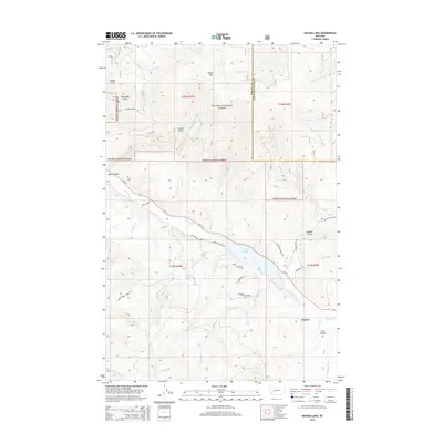
2014 Map of Nevada Lake
USGS Topo · Published 2014About this map
Nevada Lake serves as a central anchor for this part of the Avon Valley, where the waters of Nevada Creek are impounded before flowing toward the southwest. The landscape is defined by the transitions between the high peaks of Ogden Mountain and the deep incisions of Puzzle Gulch and Canarway Gulch. Much of the northern and eastern terrain falls within the Helena National Forest, illustrating the intersection of managed timberlands and private valley ranching. The small settlement of Mannix sits near the confluence of several mountain streams, including Gallagher Creek and No Name Creek. This 2014 survey documents a network of forest roads such as Nevada Ogden Road and residential developments like those along Timberlake Lane, showing how modern access has reached into these traditional mountain drainages.
Find a feature on this map
46 named features on this map. Tap any name to fly to it.
Don’t see what you’re looking for? This feature index may not catch every label — zoom into the map to look around manually.
Map Details
Editions of this 2014 Nevada Lake Map
This is the sole edition of this map. No revisions or reprints were ever made.
Other maps of this area

1889 · Helena
USGS Topo · 1:250,000

1893 · Helena
USGS Topo · 1:250,000

1899 · Helena
USGS Topo · 1:250,000

1903 · Helena
USGS Topo · 1:250,000

1947 · Butte
USGS Topo · 1:250,000

1958 · Butte
USGS Topo · 1:250,000

1958 · Avon
USGS Topo · 1:62,500

1958 · Garrison
USGS Topo · 1:62,500

1960 · Butte
USGS Topo · 1:250,000

1962 · Butte
USGS Topo · 1:250,000