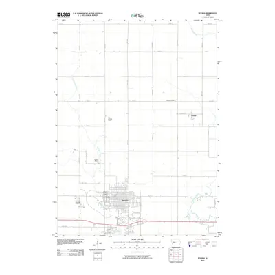
2010 Map of Nevada
USGS Topo · Published 2010About this map
Nevada serves as the focal point of this Story County landscape, where the modern street grid meets the winding paths of West Indian Creek and East Indian Creek. This 2010 survey captures the community's structural footprint, from the Nevada Post Office in the town center to industrial and transportation landmarks like the Swanson Elevator and Nevada Municipal Airport. For genealogists, the map is particularly useful as it identifies several distinct burial grounds, including the Nevada Cemetery, Saint Patrick Catholic Cemetery, Evergreen Memory Gardens, and the smaller Knoll Cemetery located to the west.
Find a feature on this map
36 named features on this map. Tap any name to fly to it.
Don’t see what you’re looking for? This feature index may not catch every label — zoom into the map to look around manually.
Map Details
Editions of this 2010 Nevada Map
This is the sole edition of this map. No revisions or reprints were ever made.
Other maps of this area
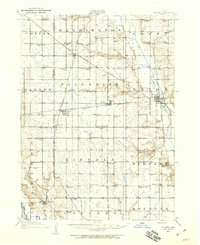
1911 · Slater
USGS Topo · 1:62,500
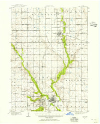
1912 · Ames
USGS Topo · 1:62,500
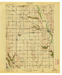
1913 · Slater
USGS Topo · 1:62,500
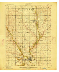
1914 · Ames
USGS Topo · 1:62,500

1954 · Waterloo
USGS Topo · 1:250,000

1954 · Des Moines
USGS Topo · 1:250,000
1955 · Waterloo
USGS Topo · 1:250,000

1956 · Des Moines
USGS Topo · 1:250,000

1957 · Des Moines
USGS Topo · 1:250,000
1969 · Des Moines
USGS Topo · 1:250,000