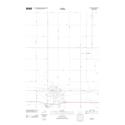
2013 Map of Nevada
USGS Topo · Published 2013About this map
Nevada serves as a significant hub in this central Iowa landscape, positioned at the intersection of local industry and historic transit routes. The community layout is detailed through a dense grid of streets, including family-named ways like Sneed St, Nelson St, and Watson St, providing rich data for local history researchers. The legendary Lincoln Hwy bisects the area, illustrating the enduring importance of this early transcontinental route. To the north, the smaller settlement of Fernald marks a quieter rural outpost along Richland St. The terrain is defined by the wandering paths of W Indian Cr and E Indian Cr, which cut through the surrounding agricultural sections. This survey documents the transition between the established town core and the expansive gridded road network of the surrounding prairie, capturing the footprint of the county seat and its outlying neighbors.
Find a feature on this map
76 named features on this map. Tap any name to fly to it.
Don’t see what you’re looking for? This feature index may not catch every label — zoom into the map to look around manually.
Map Details
Editions of this 2013 Nevada Map
This is the sole edition of this map. No revisions or reprints were ever made.
Other maps of this area

1911 · Slater
USGS Topo · 1:62,500

1912 · Ames
USGS Topo · 1:62,500

1913 · Slater
USGS Topo · 1:62,500

1914 · Ames
USGS Topo · 1:62,500

1954 · Waterloo
USGS Topo · 1:250,000

1954 · Des Moines
USGS Topo · 1:250,000

1955 · Waterloo
USGS Topo · 1:250,000

1956 · Des Moines
USGS Topo · 1:250,000

1957 · Des Moines
USGS Topo · 1:250,000

1969 · Des Moines
USGS Topo · 1:250,000