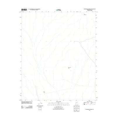
2011 Map of Neversweat Ridge
USGS Topo · Published 2011About this map
King Valley dominates the southwestern portion of this 2011 survey, illustrating a wide drainage system within the arid landscape of Yuma County. The terrain is defined by the prominent Neversweat Ridge which rises toward the center of the sheet, while the northern boundary is marked by the rugged reaches of the Tank Mountains. This topographic study by the U.S. Geological Survey captures the intricate network of desert washes and seasonal watercourses that shape the valley floor, alongside a sparse collection of secondary roads and 4WD tracks. These paths provide the primary access through the desert, connecting the elevations of the ridge to the surrounding lowlands in an area characterized by its minimal human development and striking geological relief.
Find a feature on this map
3 named features on this map. Tap any name to fly to it.
Don’t see what you’re looking for? This feature index may not catch every label — zoom into the map to look around manually.
Map Details
Editions of this 2011 Neversweat Ridge Map
This is the sole edition of this map. No revisions or reprints were ever made.
Other maps of this area

1928 · Norton
USGS Topo · 1:62,500

1929 · Norton
USGS Topo · 1:62,500

1930 · Stoval
USGS Topo · 1:62,500

1942 · Vicksburg
USGS Topo · 1:250,000

1950 · Stoval
USGS Topo · 1:62,500

1953 · Ajo
USGS Topo · 1:250,000

1954 · Phoenix
USGS Topo · 1:250,000

1955 · Roll
USGS Topo · 1:62,500

1957 · Ajo
USGS Topo · 1:250,000

1957 · Phoenix
USGS Topo · 1:250,000