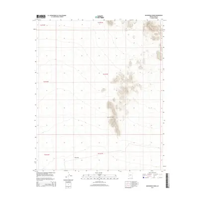
2014 Map of Neversweat Ridge
USGS Topo · Published 2014About this map
Neversweat Ridge rises sharply from the arid lowlands of Yuma County, forming a prominent north-south spine of high ground. This 2014 survey documents the remote southwestern landscape where the ridge provides a stark topographical contrast to the broad expanse of King Valley to the southwest. The area is characterized by an absence of modern settlements, instead defined by the traditional land divisions of the Public Land Survey System, including portions of t4s r15w and t5s r15w. The intricate contour intervals reveal the complex drainage patterns and canyons that cut into the ridge, providing a detailed look at the natural geography of this desert region before any major human development or infrastructure changed the character of the terrain.
Find a feature on this map
8 named features on this map. Tap any name to fly to it.
Don’t see what you’re looking for? This feature index may not catch every label — zoom into the map to look around manually.
Map Details
Editions of this 2014 Neversweat Ridge Map
This is the sole edition of this map. No revisions or reprints were ever made.
Other maps of this area

1928 · Norton
USGS Topo · 1:62,500

1929 · Norton
USGS Topo · 1:62,500

1930 · Stoval
USGS Topo · 1:62,500

1942 · Vicksburg
USGS Topo · 1:250,000

1950 · Stoval
USGS Topo · 1:62,500

1953 · Ajo
USGS Topo · 1:250,000

1954 · Phoenix
USGS Topo · 1:250,000

1955 · Roll
USGS Topo · 1:62,500

1957 · Ajo
USGS Topo · 1:250,000

1957 · Phoenix
USGS Topo · 1:250,000