2023 Map of New Baltimore
USGS Topo · Published 2023About this map
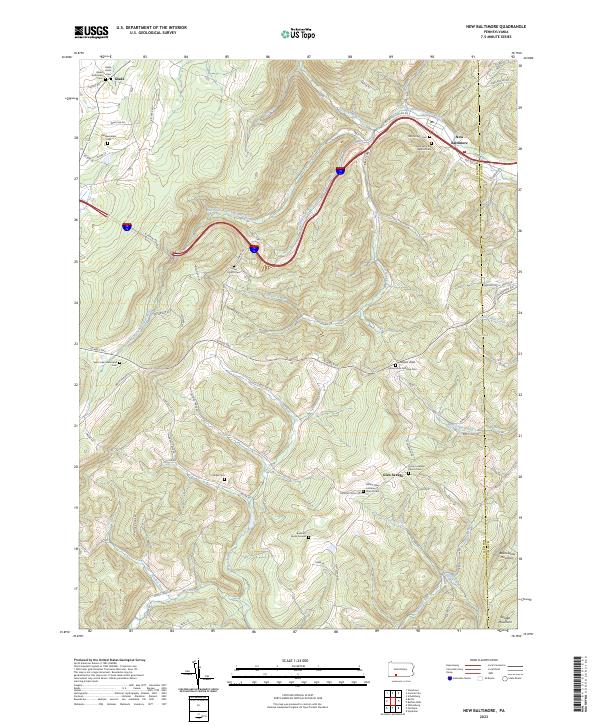
New Baltimore sits at a narrow point of the Raystown Branch Juniata River valley, where the water cuts through the high ridges of the Alleghenies. This modern topographic study shows a landscape defined by its historical religious foundations, visible in the high density of rural cemeteries and churches that serve the small settlements of Glen Savage and Glade. These sites, including the Old Catholic Cem and Saint John the Baptist Cem, are often tucked into the steep drainages of Wambaugh Run and Breastwork Run.
Find a feature on this map
78 named features on this map. Tap any name to fly to it.
Don’t see what you’re looking for? This feature index may not catch every label — zoom into the map to look around manually.
Map Details
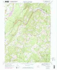
Editions of this 2023 New Baltimore Map
This is the sole edition of this map. No revisions or reprints were ever made.
Historical Maps of Fairhope Township Through Time
3 maps found
Featured Locations
- Juniata Township, PA
- Fairhope Township, PA
- New Baltimore, PA
- Stonycreek Township, PA
- Northampton Township, PA