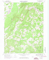
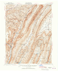
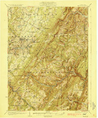
1967 Map of New Baltimore
USGS Topo · Published 1973About this map
New Baltimore sits at a scenic bend in the Raystown Branch Juniata River, serving as a focal point for this 1967 survey of the Allegheny front. The landscape is defined by the steep transition of the Dividing Ridge, where the Pennsylvania Turnpike pierces the mountain through the Allegheny Tunnel. Local life in this era is etched into the hillsides via a network of country churches and cemeteries, such as St Johns Ch and the Glade Cem.
Find a feature on this map
41 named features on this map. Tap any name to fly to it.
Don’t see what you’re looking for? This feature index may not catch every label — zoom into the map to look around manually.
Map Details
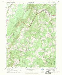
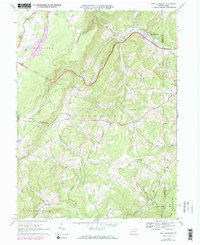
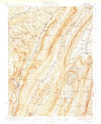
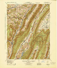
Editions of this 1967 New Baltimore Map
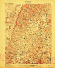
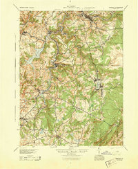
Other maps of this area

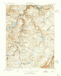
1908 · Bedford
USGS Topo · 1:62,500
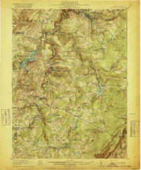
1910 · Bedford
USGS Topo · 1:62,500
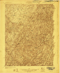
1914 · Windber
USGS Topo · 1:62,500
1916 · Windber
USGS Topo · 1:62,500
1923 · Berlin
USGS Topo · 1:48,000
1927 · Hyndman
USGS Topo · 1:62,500
1929 · Berlin
USGS Topo · 1:62,500
1931 · Hyndman
USGS Topo · 1:62,500
1944 · Hyndman
USGS Topo · 1:62,500
1944 · Windber
USGS Topo · 1:62,500
Featured Places
- Fairhope Township, PA
- New Baltimore, PA
- Stonycreek Township, PA
- Glen Savage, Allegheny Township
- Glade, Stonycreek Township