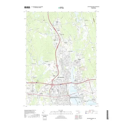
2018 Map of New Bedford North
USGS Topo · Published 2018About this map
New Bedford and its surrounding harbor communities are documented here in detail, showcasing a landscape where maritime heritage and suburban development meet. The New Bedford Whaling National Historical Park anchors the city’s historical core, reflecting the region's long-standing connection to the sea. The geography is defined by the Acushnet River flowing into the Atlantic Ocean, creating a natural harbor that has sustained Fairhaven, North Fairhaven, and Oxford for generations.
Find a feature on this map
234 named features on this map. Tap any name to fly to it.
Don’t see what you’re looking for? This feature index may not catch every label — zoom into the map to look around manually.
Map Details
Editions of this 2018 New Bedford North Map
This is the sole edition of this map. No revisions or reprints were ever made.
Other maps of this area

1885 · New Bedford
USGS Topo · 1:62,500

1885 · Middleboro
USGS Topo · 1:62,500

1885 · Taunton
USGS Topo · 1:62,500

1888 · New Bedford
USGS Topo · 1:62,500

1888 · Fall River
USGS Topo · 1:62,500

1888 · Taunton
USGS Topo · 1:62,500

1888 · Middleboro
USGS Topo · 1:62,500

1893 · Taunton
USGS Topo · 1:62,500

1893 · Middleboro
USGS Topo · 1:62,500

1893 · Fall River
USGS Topo · 1:62,500