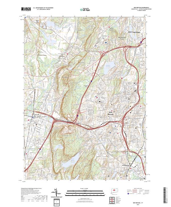
2024 Map of New Britain
USGS Topo · Published 2024About this map
The Lower Farmington River and Salmon Brook Wild and Scenic River corridor defines the northwestern corner of this Connecticut landscape, where the Farmington River meets the Pequabuck River near Farmington Station. The area is marked by significant topographical variation, dominated by the north-south spine of the Metacomet Ridge, featuring prominent landmarks like Rattlesnake Mtn, Pinnacle Rock, and Bradley Mtn. These ridges separate the suburban expansion of New Britain and Plainville from the protected waters of Shuttle Meadow Reservoir and Plainville Reservoir.
Find a feature on this map
80 named features on this map. Tap any name to fly to it.
Don’t see what you’re looking for? This feature index may not catch every label — zoom into the map to look around manually.
Map Details
Editions of this 2024 New Britain Map
This is the sole edition of this map. No revisions or reprints were ever made.
Other maps of this area

1892 · Hartford
USGS Topo · 1:62,500

1892 · Meriden
USGS Topo · 1:62,500

1892 · Granby
USGS Topo · 1:62,500

1893 · Middletown
USGS Topo · 1:62,500

1893 · Meriden
USGS Topo · 1:62,500

1906 · Farmington
USGS Topo · 1:125,000

1928 · Cromwell
USGS Topo · 1:24,000

1928 · Windsor
USGS Topo · 1:24,000

1944 · Hartford South
USGS Topo · 1:31,680

1945 · Hartford North
USGS Topo · 1:31,680