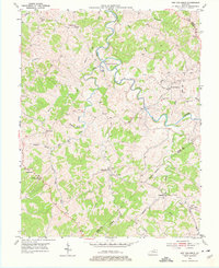
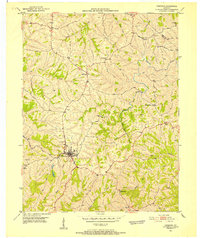
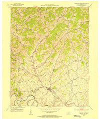
1953 Map of New Columbus
USGS Topo · Published 1977About this map
Eagle Creek defines the winding geography of this central Kentucky landscape, carving a dramatic path past the landform known as Mountain Island. The region is characterized by small, ridge-top settlements such as New Columbus and Natlee, where local life centered around rural institutions like the Locust Grove Sch and Davis Chapel. The road network often follows the natural contours of the hills, connecting isolated hamlets like Fairbanks and Beechwood.
Find a feature on this map
44 named features on this map. Tap any name to fly to it.
Don’t see what you’re looking for? This feature index may not catch every label — zoom into the map to look around manually.
Map Details
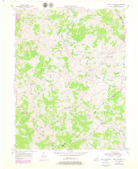
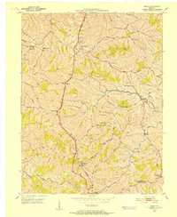
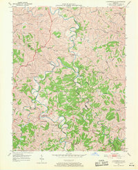
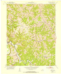
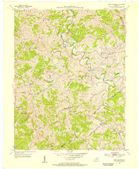
Editions of this 1953 New Columbus Map
3 editions found
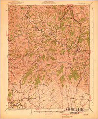
Other maps of this area

1906 · Lockport
USGS Topo · 1:48,000

1908 · Lockport
USGS Topo · 1:62,500
1939 · Sadieville
USGS Topo · 1:62,500
1950 · Mason
USGS Topo · 1:24,000
1950 · Owenton
USGS Topo · 1:24,000
1950 · Lawrenceville
USGS Topo · 1:24,000
1953 · Monterey
USGS Topo · 1:24,000
1953 · Sadieville
USGS Topo · 1:24,000
1953 · Stamping Ground
USGS Topo · 1:24,000
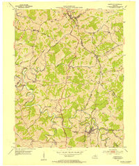
1953 · New Columbus
USGS Topo · 1:24,000