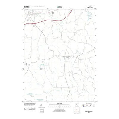
2010 Map of New Concord
USGS Topo · Published 2010About this map
New Concord anchors this landscape in eastern Ohio, where the village and its residential additions like Morgan Manor and Colonial Heights sit at the intersection of local routes and the modern highway corridor. The area's communal history is marked by a significant density of burial grounds, including the New Concord Cemetery, Crooked Creek Cemetery, and Zion Cemetery, indicating generations of local families.
Find a feature on this map
79 named features on this map. Tap any name to fly to it.
Don’t see what you’re looking for? This feature index may not catch every label — zoom into the map to look around manually.
Map Details
Editions of this 2010 New Concord Map
This is the sole edition of this map. No revisions or reprints were ever made.
Other maps of this area

1908 · Conesville
USGS Topo · 1:62,500

1909 · Cambridge
USGS Topo · 1:62,500

1910 · Philo
USGS Topo · 1:62,500

1910 · Conesville
USGS Topo · 1:62,500

1911 · Cumberland
USGS Topo · 1:62,500

1912 · Cambridge
USGS Topo · 1:62,500

1949 · Clarksburg
USGS Topo · 1:250,000

1951 · Canton
USGS Topo · 1:250,000

1953 · Canton
USGS Topo · 1:250,000

1956 · Clarksburg
USGS Topo · 1:250,000